
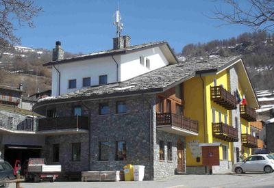
Émarèse, Italian comune
Location: Aosta Valley
Elevation above the sea: 1,170 m
Website: http://www.comune.emarese.ao.it/
Shares border with: Brusson, Montjovet, Saint-Vincent, Challand-Saint-Anselme, Challand-Saint-Victor
Website: http://comune.emarese.ao.it
GPS coordinates: 45.71667,7.70000
Latest update: March 23, 2025 00:11
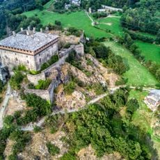
Verrès Castle
5.3 km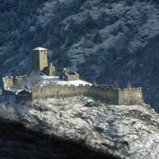
Graines Castle
4.9 km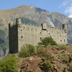
Ussel Castle
6.2 km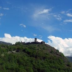
Castello Saint-Germain
2.5 km
Marmore
6.9 km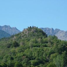
Château de Ville
3.5 km
Challant
2.5 km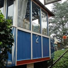
Saint-Vincent Funicular
5.3 km
Prevostura di Saint-Gilles
5.3 km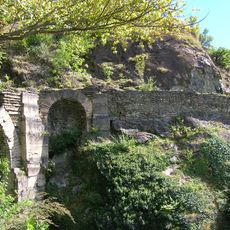
Roman bridge of Saint-Vincent
4.5 km
Castello Chenal
2.7 km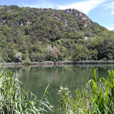
Ville Lake Natural Reserve
3.4 km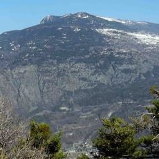
Testa di Comagna
3.6 km
Chiesa di San Maurizio
5.4 km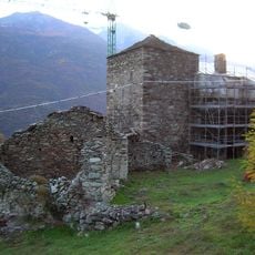
Néran tower
6.4 km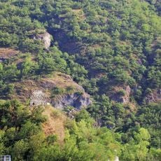
Castello Des Rives
6.8 km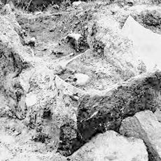
Necropoli di Fiusey
2.9 km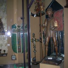
Museo d'arte sacra
5.4 km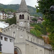
Church of Saint Vincent
5.4 km
Town hall
5.5 km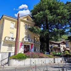
Villa Romolo
5.7 km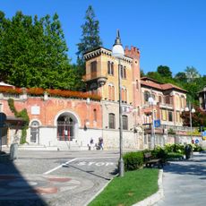
Villa Quadro
5.6 km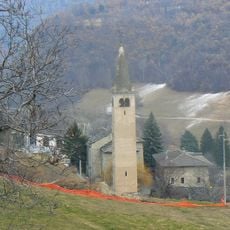
Museo parrocchiale di Challand-Saint-Victor
3 km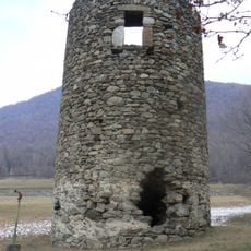
Torre di Bonot
3.7 km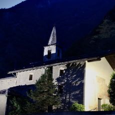
Chiesa di Saint-Solutor
6 km
Geosito Ponte romano - Tsailleun
4.5 km
Platano comune
6 km
Abete greco
6.1 kmReviews
Visited this place? Tap the stars to rate it and share your experience / photos with the community! Try now! You can cancel it anytime.
Discover hidden gems everywhere you go!
From secret cafés to breathtaking viewpoints, skip the crowded tourist spots and find places that match your style. Our app makes it easy with voice search, smart filtering, route optimization, and insider tips from travelers worldwide. Download now for the complete mobile experience.

A unique approach to discovering new places❞
— Le Figaro
All the places worth exploring❞
— France Info
A tailor-made excursion in just a few clicks❞
— 20 Minutes