
Controguerra, Italian comune
Location: Province of Teramo
Capital city: Controguerra
Elevation above the sea: 267 m
Shares border with: Ancarano, Corropoli, Monsampolo del Tronto, Monteprandone, Nereto, Spinetoli, Torano Nuovo, Colonnella
Website: http://comune.controguerra.te.it
GPS coordinates: 42.85000,13.81667
Latest update: April 17, 2025 14:13
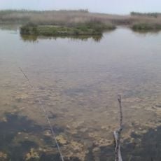
Riserva Naturale Regionale Sentina
9.6 km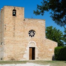
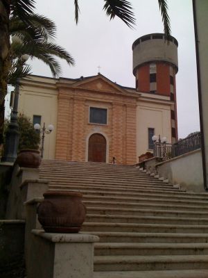
Church of Saint Mary a Vico
5.3 km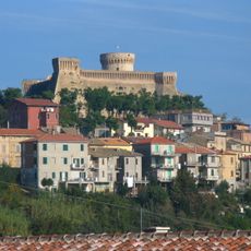
Fortezza medievale
10.5 km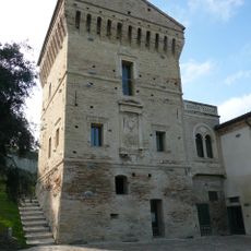
Tower of Martinsicuro
8.1 km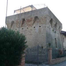
Torre della Vibrata
8.9 km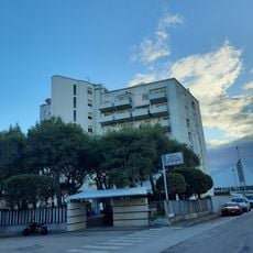
Hotel Sporting
10.3 km
Martinsicuro's beach
9.3 km
Fonte del Vascello
9.3 km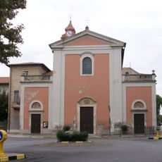
Chiesa di Sant'Antonio Abate
4.3 km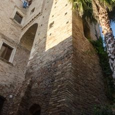
Torre di massimo avvistamento
5.7 km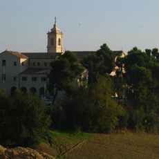
Santa Maria delle Grazie
5 km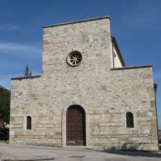
San Martino church
3.8 km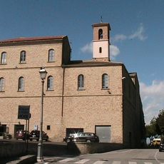
Sant'Agostino
9.4 km
Church of the Brotherhood of Suffrage
3.4 km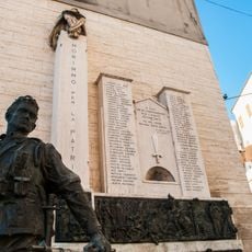
Monumento ai Caduti
5.7 km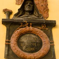
Monumento a Giordano Bruno
5.7 km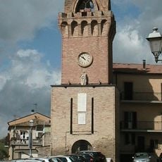
Clock tower
9.4 km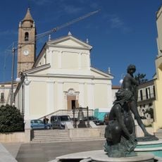
Maria della Consolazione church
3.3 km
Caseggiato in Terravecchia
5.7 km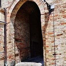
Porta Gotica
5.6 km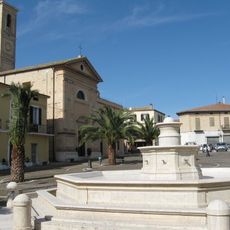
Monumental fountain
3.4 km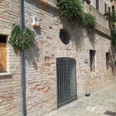
Museo archeologia
5.6 km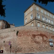
Town hall
8 km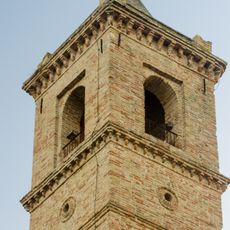
Churches in Monsampolo del Tronto
5.7 km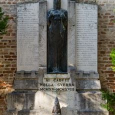
War memorial in Monsampolo del Tronto,
5.7 km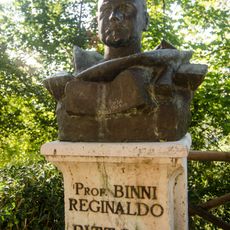
Busto di Reginaldo Binni
5.6 km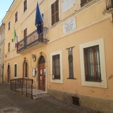
Municipio
5.6 km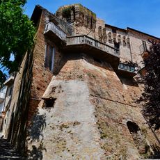
Mura del Borgo
5.6 kmReviews
Visited this place? Tap the stars to rate it and share your experience / photos with the community! Try now! You can cancel it anytime.
Discover hidden gems everywhere you go!
From secret cafés to breathtaking viewpoints, skip the crowded tourist spots and find places that match your style. Our app makes it easy with voice search, smart filtering, route optimization, and insider tips from travelers worldwide. Download now for the complete mobile experience.

A unique approach to discovering new places❞
— Le Figaro
All the places worth exploring❞
— France Info
A tailor-made excursion in just a few clicks❞
— 20 Minutes