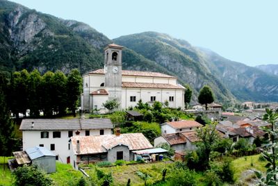
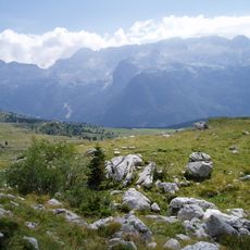
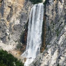
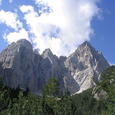
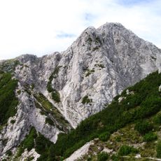
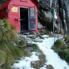
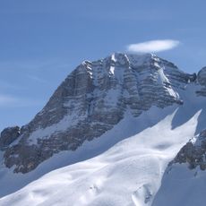
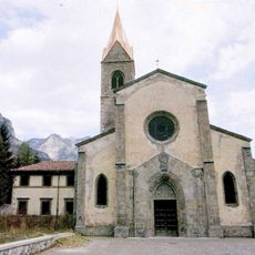
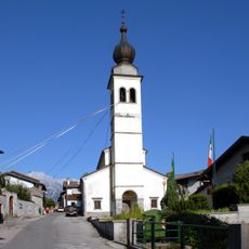
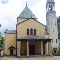
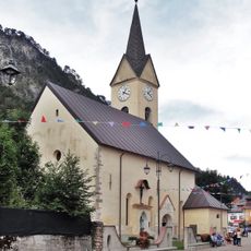
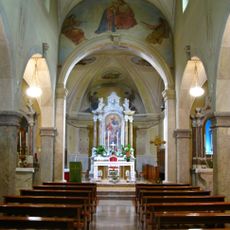
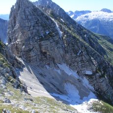
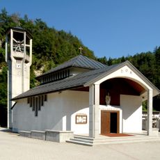
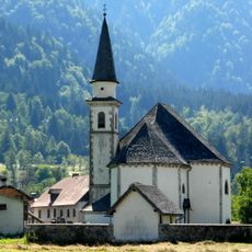
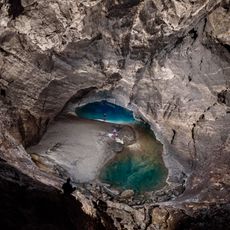
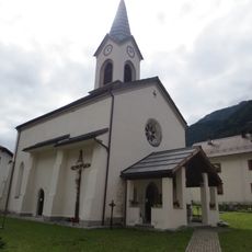
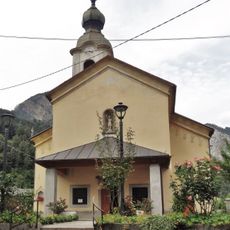
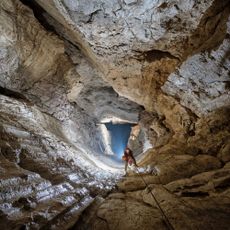
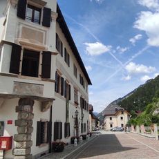
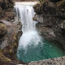
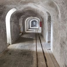
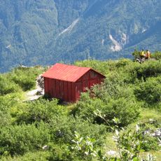
Chiusaforte, Italian comune
Location: ente di decentramento regionale di Udine
Capital city: Chiusaforte
Elevation above the sea: 391 m
Shares border with: Dogna, Malborghetto Valbruna, Moggio Udinese, Resia, Resiutta, Tarvisio, Bovec
Website: http://comune.chiusaforte.ud.it
GPS coordinates: 46.40833,13.30903
Latest update: March 4, 2025 23:57
Canin
11.3 km
Boka
16.4 km
Parco naturale delle Prealpi Giulie
7.9 km
Italian Julian Alps
11.9 km
Jôf Fuart
14.1 km
Jôf di Miezegnot
13.5 km
Bivacco Franco Costantini
13.2 km
Prestreljenik
13.6 km
Pieve di Santa Maria Maggiore
10.9 km
Santa Maria Assunta
3.9 km
San Giorgio Martire Church
3.8 km
Church of St. Leonard
4.5 km
San Bartolomeo Apostolo
118 m
Visitazione di Maria Santissima
14.8 km
San Carlo Borromeo
6.2 km
Cima di Terrarossa
11.2 km
San Martino Vescovo
7.2 km
San Gottardo
11.6 km
Renetovo brezno
12 km
Chiesa di Santa Geltrude
11.5 km
Chiesa di San Giovanni Battista
11 km
Skalarjevo brezno
13.4 km
Palazzo Veneziano
14.8 km
Cascata rio Repepeit
2.9 km
Forte Col Badin
2.4 km
Bivak Stuparich
11.4 km
Slap Boka
16.4 km
Austro-Hungarian military cemetery of Valbruna
16.2 kmReviews
Visited this place? Tap the stars to rate it and share your experience / photos with the community! Try now! You can cancel it anytime.
Discover hidden gems everywhere you go!
From secret cafés to breathtaking viewpoints, skip the crowded tourist spots and find places that match your style. Our app makes it easy with voice search, smart filtering, route optimization, and insider tips from travelers worldwide. Download now for the complete mobile experience.
A unique approach to discovering new places❞
— Le Figaro
All the places worth exploring❞
— France Info
A tailor-made excursion in just a few clicks❞
— 20 Minutes