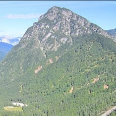
Jôf di Miezegnot, Mountain summit in Friuli Venezia Giulia, Italy.
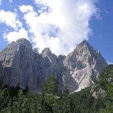
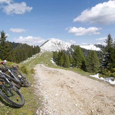
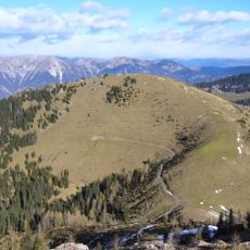
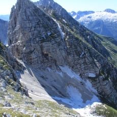
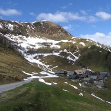
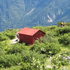
Jôf di Miezegnot is a 2087-meter peak in the Western Julian Alps, rising near the borders with Austria and Slovenia in the Province of Udine. A T3-classified hiking trail leads to the summit, with the Ricovero Battaglione Alpini Gemona shelter positioned about 432 meters to the southwest.
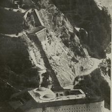
The peak was strategically important during World War I, with Italian forces holding the summit while Austro-Hungarian troops occupied the northern slopes. This military division shaped the mountain's landscape and infrastructure for years afterward.
The peak carries different names across local languages: Poldnašnja špica in Slovene and Malborgether Mittagskofel in German, reflecting the linguistic diversity of this border area.
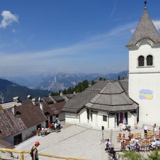
Two marked routes reach the summit: trail 607 from Valbruna/Ovčja vas via Malga Ravna and the east ridge takes about 3½ hours, while trail 609 climbs from Sella di Somdogna in about 2 hours, passing the Battaglione Alpini Gemona bivouac. The Sella di Somdogna is reached in an hour from Malga Zajzera, or by road through Val Dogna from Mužac. The Koča bratov Grego hut (1,395 m) stands just below the pass.
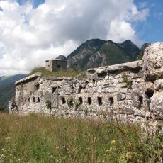
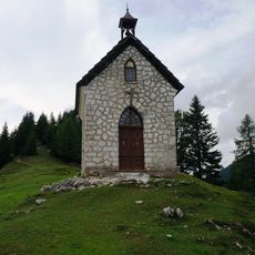
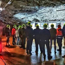
Austro-Hungarian troops on the northern slopes, only a short distance from the Italian-held summit, built the Cita chapel on Malga Ravna, northeast of the peak, in memory of the last Austro-Hungarian empress. The whole ridge is dotted with remains of fortifications, caverns and defensive trenches from World War I.
The community of curious travelers
AroundUs brings together thousands of curated places, local tips, and hidden gems, enriched daily by 93,069 contributors worldwide.