Monte Santo di Lussari, Mountain summit in Tarvisio, Italy
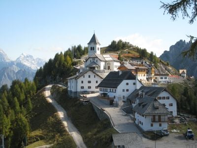
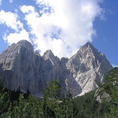
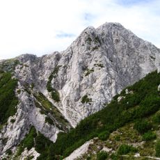
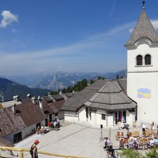
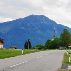
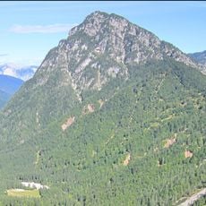
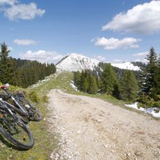
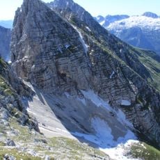
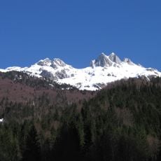
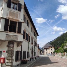
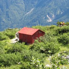
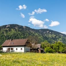
Monte Santo di Lussari is a mountain summit in the Julian Alps that rises to 1790 meters and offers views across multiple valleys and mountain ranges in northeastern Italy. The peak holds a village with traditional alpine buildings and several eateries serving regional food from three cultural regions.
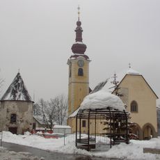
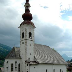
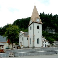
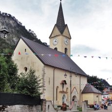
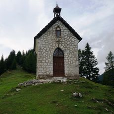
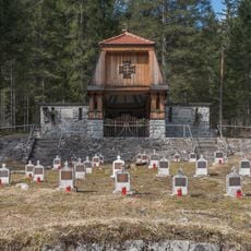
A sanctuary from the 16th century stands at the summit and marks centuries of religious pilgrimage and the deep spiritual meaning of this mountain. The chapel draws people today who continue the long tradition of the place.
The mountain marks a place where Italian, Germanic, and Slavic cultures meet and blend into local building styles and everyday customs. This mixture shows in how people here live together and keep their traditions alive.
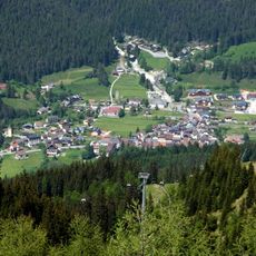
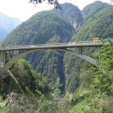
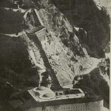
A modern cable car system carries visitors year-round from Camporosso to the summit, with extra services during skiing and hiking seasons. Taking the cable car saves time if you want to reach the top without a long walk.
The mountain village at the peak follows an alpine way of life where eateries serve food from the three neighboring cultural areas, and hikers meet with local people. This mixing happens naturally because the location brings together people from different backgrounds.
The community of curious travelers
AroundUs brings together thousands of curated places, local tips, and hidden gems, enriched daily by 60,000 contributors worldwide.