·

Enable Location

We need your location to show you interesting places around you

Discover nearby places

Find interesting locations and hidden gems around you

Precise directions

Get accurate directions and distances to places

Your location is never shared with other users. It's only used when you tap the location button.

Sella di Camporosso

Log in to your account

Start exploring — it's free

Trusted by 62,658 travelers worldwide

Continue with Google
Continue with Apple
or

We will send you a code to connect

By continuing, you accept our Terms and Conditions and our Privacy Policy

Check your inbox

We've sent a pincode in your inbox. Please enter the code below.

Sella di Camporosso

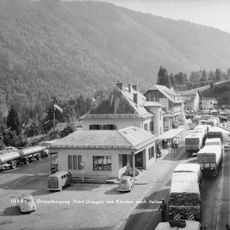
Sella di Camporosso, Mountain pass near Tarvisio, Italy

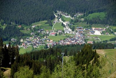
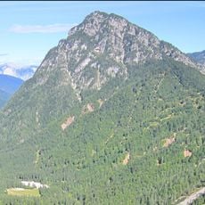
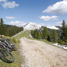
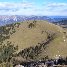
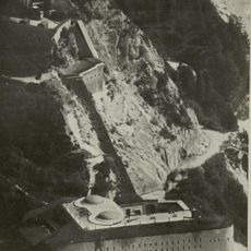
Sella di Camporosso is a mountain pass at 816 meters elevation located between the Carnic Alps and Julian Alps in northeastern Italy. It connects the Italian lowlands with the regions of Central Europe beyond.

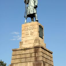
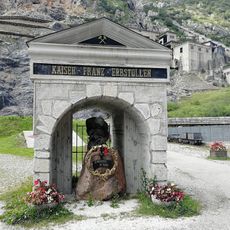
The pass saw use in ancient times when Romans built roads through it in the 3rd century, with Emperor Caracalla marking the route with milestone markers. This infrastructure made it a key connection between Italy and the lands to the north.

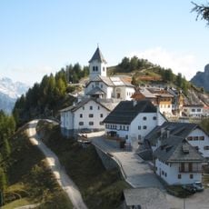
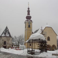
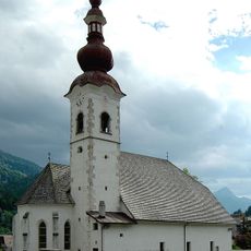
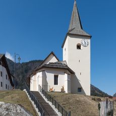
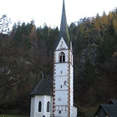
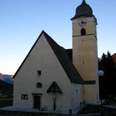
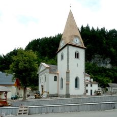
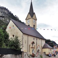
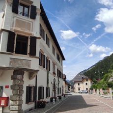
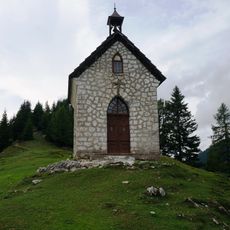
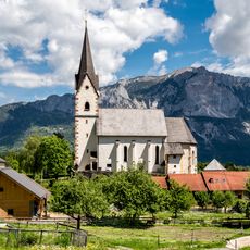
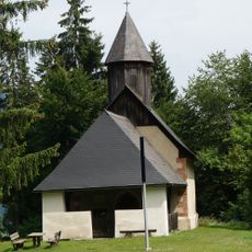
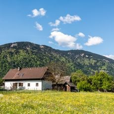
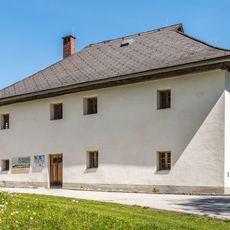
The pass marks where Italian, German-speaking, and Slavic communities live close to one another, sharing and adapting traditions from all three cultures. You can see this blend reflected in local place names and the architecture of nearby villages.

You can reach the pass via the A23 motorway and State Road 13, which connect Venice to Central Europe. The drive is possible, but the elevation and mountain weather should be considered when planning your route.

The pass forms a natural watershed dividing waters that flow toward the Adriatic Sea from those heading eastward toward the Black Sea. This geographic boundary makes it a rare spot where two major European river systems meet.

The community of curious travelers

AroundUs brings together thousands of curated places, local tips, and hidden gems, enriched daily by 60,000 contributors worldwide.

Start exploring
Location
Elevation above the sea
816 m
GPS coordinates
46.50639,13.53000
Latest update
December 14, 2025 09:47
« Sella di Camporosso - Mountain pass near Tarvisio, Italy » is provided by Around Us (aroundus.com). Images and texts are derived from Wikimedia project under a Creative Commons license. You are allowed to copy, distribute, and modify copies of this page, under the conditions set by the license, as long as this note is clearly visible.

Discover hidden gems everywhere you go!

From secret cafés to breathtaking viewpoints, skip the crowded tourist spots and find places that match your style. Our app makes it easy with voice search, smart filtering, route optimization, and insider tips from travelers worldwide. Download now for the complete mobile experience.

Around Us App Screenshot

A unique approach to discovering new places

Le Figaro

All the places worth exploring

France Info

A tailor-made excursion in just a few clicks

20 Minutes

Around Us
Travel Guide & Maps
Download

Send to your phone

QR Code
1

Open the camera app on your mobile.

2

Point at the QR code with your camera. A notification will appear.

3

Tap the notification to open the link.