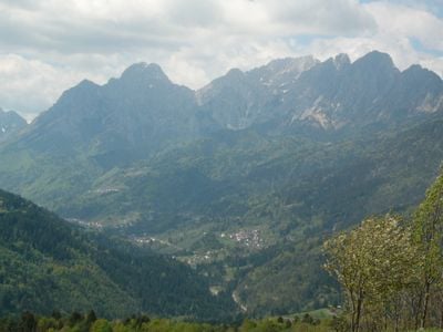
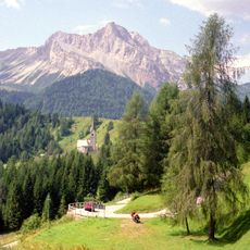
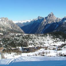
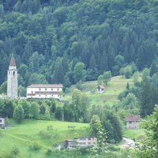
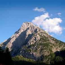
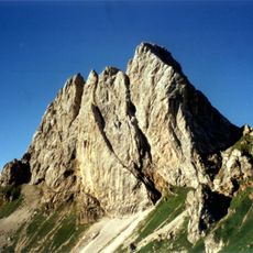
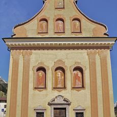
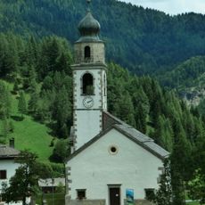
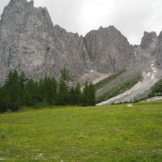
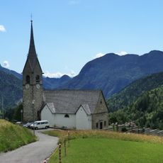
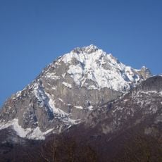
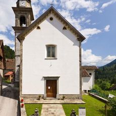
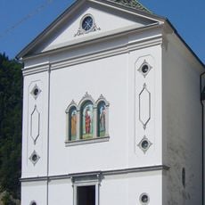
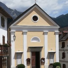
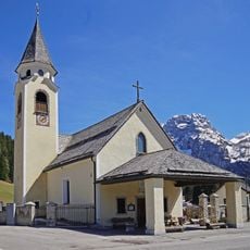
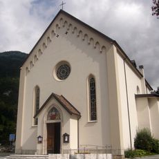
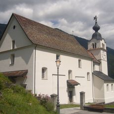
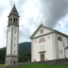
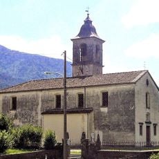
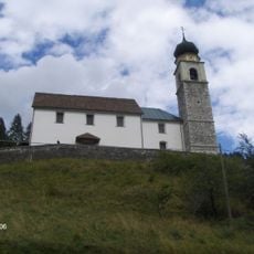
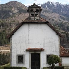
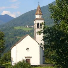
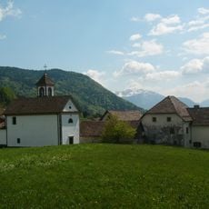
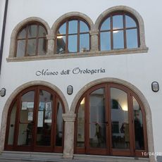
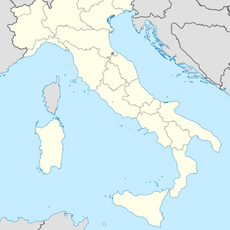
Prato Carnico, Italian comune
Location: ente di decentramento regionale di Udine
Elevation above the sea: 686 m
Website: http://www.comune.prato.bz.it
Shares border with: Comeglians, Forni Avoltri, Rigolato, Sappada, Sauris, Vigo di Cadore, Ovaro
Website: http://comune.prato.bz.it
GPS coordinates: 46.52031,12.79725
Latest update: March 3, 2025 23:53
Sauris Dam
9.3 km
Pierabech
10 km
Monte Bìvera
14.8 km
Monte Terza Grande
13.5 km
Pieve di Gorto
7.1 km
Monte Siera
7.3 km
Monte Chiadenis
12.6 km
Santa Margherita
10.4 km
Sant'Osvaldo
9.1 km
Creta Forata
5.3 km
Chiesa di San Lorenzo Martire
10.2 km
Monte Tinisa
13.3 km
Chiesa di San Leonardo
863 m
Santi Filippo e Giacomo
2.2 km
San Gottardo
6.5 km
Beata Vergine del Rosario e San Daniele Profeta Church
11.5 km
Sant'Osvaldo
7.9 km
San Lorenzo Martire Church
7.5 km
San Canciano Martire
978 m
Church of Sts. James and Philip
5.5 km
Santissima Trinità
6.8 km
San Giorgio Martire
5.2 km
Chiesa di San Giovanni Battista
6.7 km
Chiesa di Santa Fosca
7.5 km
Chiesa di Santa Caterina
6 km
San Lorenzo Martire Church
6.7 km
Museo dell'Orologeria Pesarina
2.1 km
Monte Rinaldo
13.8 kmReviews
Visited this place? Tap the stars to rate it and share your experience / photos with the community! Try now! You can cancel it anytime.
Discover hidden gems everywhere you go!
From secret cafés to breathtaking viewpoints, skip the crowded tourist spots and find places that match your style. Our app makes it easy with voice search, smart filtering, route optimization, and insider tips from travelers worldwide. Download now for the complete mobile experience.
A unique approach to discovering new places❞
— Le Figaro
All the places worth exploring❞
— France Info
A tailor-made excursion in just a few clicks❞
— 20 Minutes