
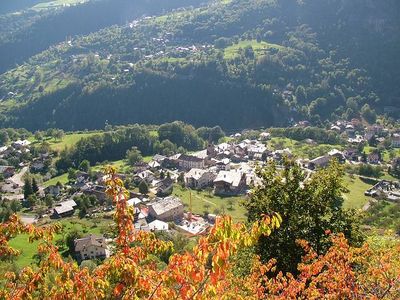
Antey-Saint-André, Italian comune
Location: Aosta Valley
Capital city: Antey-Saint-Andrè
Elevation above the sea: 1,074 m
Shares border with: Châtillon, La Magdeleine, Saint-Denis, Aosta Valley, Valtournenche, Chamois, Aosta Valley, Torgnon
Website: http://comune.antey-st-andre.ao.it
GPS coordinates: 45.80000,7.60000
Latest update: March 4, 2025 17:03

Casino de la Vallée
6.3 km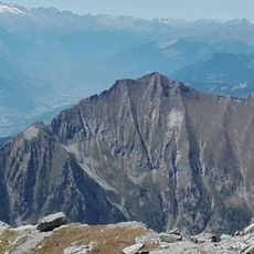
Monte Zerbion
5.1 km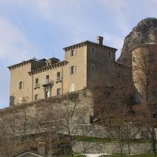
Castello Passerin d’Entrèves
5.6 km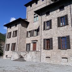
Castle of Baron Gamba
3.7 km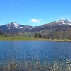
Becca d'Aver
5 km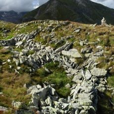
Villaggio dei Salassi sul Col Pierrey
6.5 km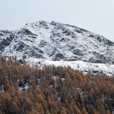
Mont Tantané
4.1 km
Villaggio dei Salassi del Monte Tantané
3.6 km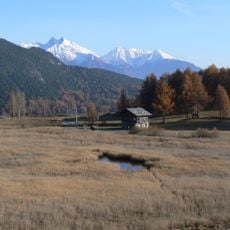
Riserva naturale Lozon
4.5 km
Ethnographic museum Petit-Monde
2.7 km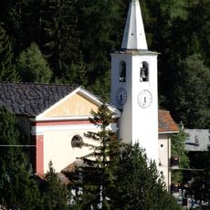
Chiesa di Santa Maria Maddalena
1.8 km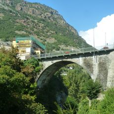
Pont Neuf
5.8 km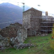
Néran tower
5.8 km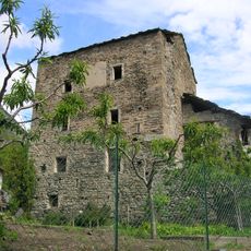
Torre di Conoz
5.3 km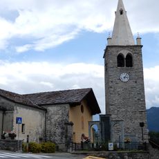
Chiesa di Sant'Andrea
794 m
Cappella di Nostra Signora della Neve
1.9 km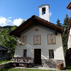
Cappella dei Santi Rocco e Sebastiano
1.6 km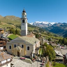
Church of San Martino in Antagnod
7 km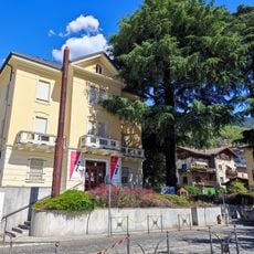
Villa Romolo
6.5 km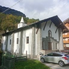
Cappella di S. Barbara
7.7 km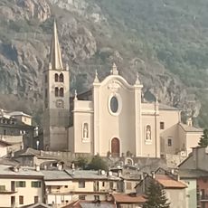
Chiesa di San Pietro
5.7 km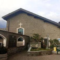
Chiesa di San Francesco
5.8 km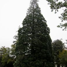
Sequoia monumentale del parco del castello Baron Gamba
6.2 km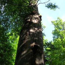
Faggio
4.7 km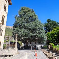
Abete greco
6.2 km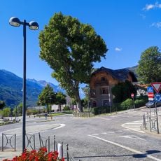
Platano comune
6.3 km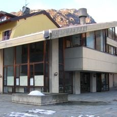
Biblioteca Comprensoriale Châtillon
5.8 km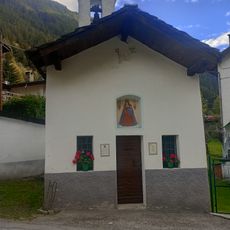
Cappella di Notre Dame des Hermites
7.6 kmReviews
Visited this place? Tap the stars to rate it and share your experience / photos with the community! Try now! You can cancel it anytime.
Discover hidden gems everywhere you go!
From secret cafés to breathtaking viewpoints, skip the crowded tourist spots and find places that match your style. Our app makes it easy with voice search, smart filtering, route optimization, and insider tips from travelers worldwide. Download now for the complete mobile experience.

A unique approach to discovering new places❞
— Le Figaro
All the places worth exploring❞
— France Info
A tailor-made excursion in just a few clicks❞
— 20 Minutes