
Monfumo, Italian comune
Location: Province of Treviso
Capital city: Monfumo
Elevation above the sea: 227 m
Website: http://www.monfumo.melograno.net/mws/navig/index.jsp
Shares border with: Asolo, Cavaso del Tomba, Maser, Castelcucco, Cornuda, Pederobba
Website: http://monfumo.melograno.net/mws/navig
GPS coordinates: 45.83170,11.92130
Latest update: March 16, 2025 19:34

Villa Barbaro
4.8 km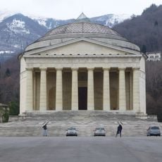
Tempio Canoviano
4.4 km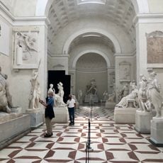
Gipsoteca canoviana
4 km
Castello di Asolo
3.4 km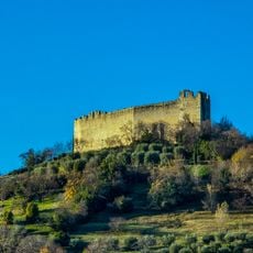
Rocca di Asolo
3.1 km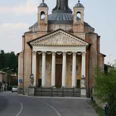
Tempietto Barbaro
4.9 km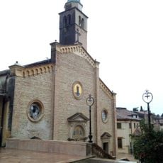
Asolo Duomo
3.4 km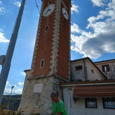
Madonna della Rocca
5.2 km
Villa di Maser
4.8 km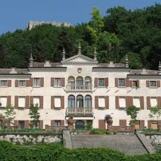
Villa Scotti Pasini
3.2 km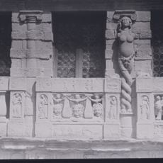
Casa Longobarda
3.5 km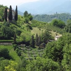
Villa degli Armeni
3.6 km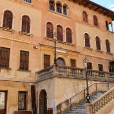
Asolo Civic Museum
3.4 km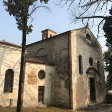
San Gottardo Church
3.4 km
Asolo Golf Club
3.4 km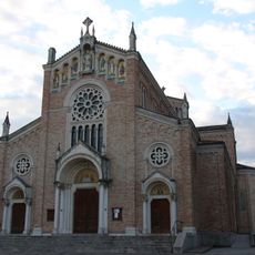
Chiesa di San Martino Vescovo
6.6 km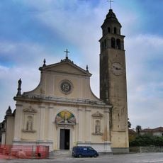
Chiesa della Visitazione della Beata Vergine Maria a Santa Elisabetta
3.8 km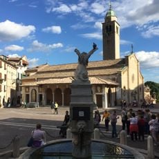
Teatro Civico Eleonora Duse
3.4 km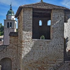
Torre Reata
3.4 km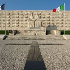
Military shrine of Pederobba
5.7 km
Villa De Mattia
3.5 km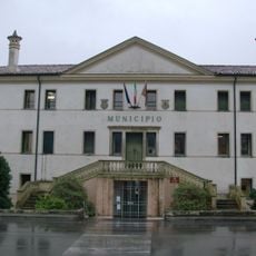
Villa Nani, Trieste, Fanzago
4.8 km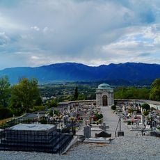
Cemetery of Sant'Anna
3.8 km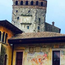
Torre civica
3.4 km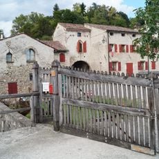
Maglio
3.8 km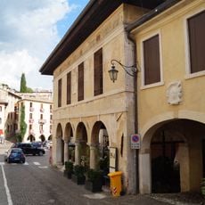
Loggia della Ragione
3.4 km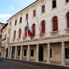
Town hall
3.4 km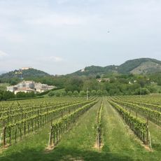
Colli Asolani
2.7 kmReviews
Visited this place? Tap the stars to rate it and share your experience / photos with the community! Try now! You can cancel it anytime.
Discover hidden gems everywhere you go!
From secret cafés to breathtaking viewpoints, skip the crowded tourist spots and find places that match your style. Our app makes it easy with voice search, smart filtering, route optimization, and insider tips from travelers worldwide. Download now for the complete mobile experience.

A unique approach to discovering new places❞
— Le Figaro
All the places worth exploring❞
— France Info
A tailor-made excursion in just a few clicks❞
— 20 Minutes