Enable Location

We need your location to show you interesting places around you

Discover nearby places

Find interesting locations and hidden gems around you

Precise directions

Get accurate directions and distances to places

Your location is never shared with other users. It's only used when you tap the location button.

Roana

Log in to your account

Start exploring — it's free

Trusted by 64,530 travelers worldwide

Continue with Google
Continue with Apple
or

We will send you a code to connect

By continuing, you accept our Terms and Conditions and our Privacy Policy

Check your inbox

We've sent a pincode in your inbox. Please enter the code below.

Discussion Reviews 2 Photos
19.6k Popularity

Roana, Italian comune

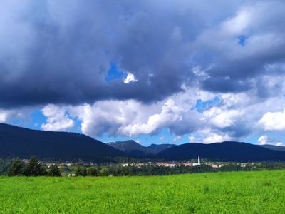
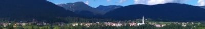
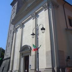
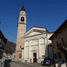
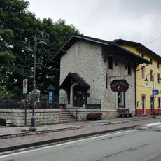
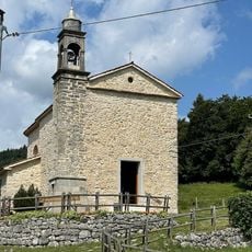
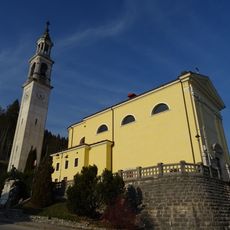
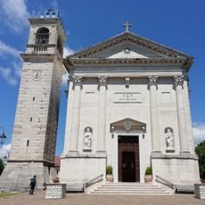
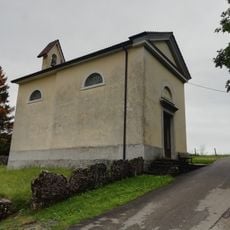
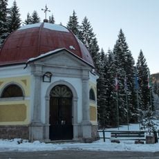
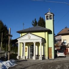
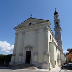
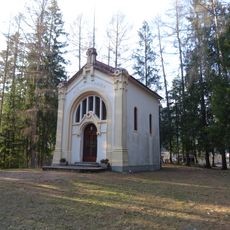
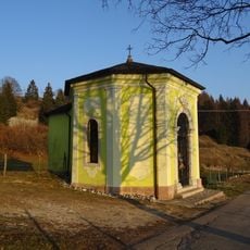
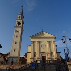
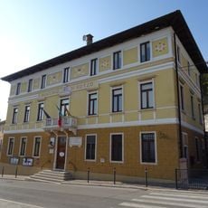
Roana is a commune in the Province of Vicenza made up of five hamlets, each with its own bell tower, earning it the name land of the six towers. The settlements are spread across green areas and connected by small roads, creating quiet residential spaces with traditional stone buildings.

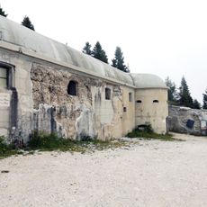
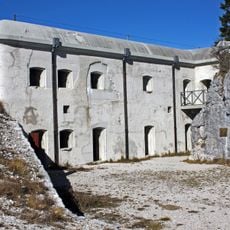
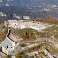
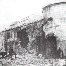
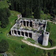
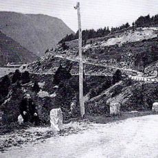
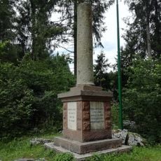
Roana is linked to World War I, as the first cannon shot marking Italy's entry into the war was fired from Mount Verena on May 24. The region witnessed intense battles, especially during the Strafexpedition offensive, and the mountain still holds a restored fort from the 1800s that stands as a monument to this history.

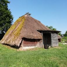
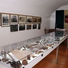
Roana preserves Cimbrian traditions through its Institute of Cimbrian Culture and the summer festival Hoga Zait, where people dance and sing in traditional costumes. The Cimbrian language and customs remain alive through local celebrations, especially the festival of the Cuchi whistles in Canove, small clay instruments that were once exchanged as gifts between partners.

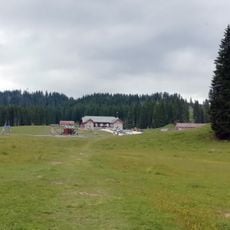
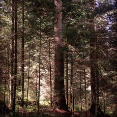
The area is easily reached from Asiago and offers different activities depending on season: summer brings cool air and hiking opportunities plus lakeside picnics at Lonaba, while winter provides snow sports and peaceful walks. Visitors should prepare for changing mountain weather and bring appropriate gear for the elevation of around 1000 meters (3,300 feet).

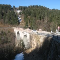
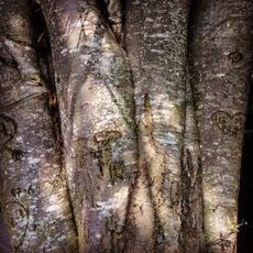
In the Val d'Assa valley near Roana, hikers can discover ancient rock carvings called petroglyphs that offer glimpses into prehistoric life and show this land has been inhabited for thousands of years. A finely crafted stone bridge from the 1800s crosses the valley, merging ancient history with the craftsmanship of its builders.

The community of curious travelers

AroundUs brings together thousands of curated places, local tips, and hidden gems, enriched daily by 60,000 contributors worldwide.

Start exploring
Capital city
Roana
Elevation above the sea
991 m
Shares border with
Rotzo, Caltrano, Cogollo del Cengio, Asiago, Valdastico
GPS coordinates
45.87639,11.46278
Latest update
February 16, 2026 22:20
Reviews
Share your experience

No review yet

Discussions
Start a discussion...

No discussion yet

« Roana - Italian comune » is provided by Around Us (aroundus.com). Images and texts are derived from Wikimedia project under a Creative Commons license. You are allowed to copy, distribute, and modify copies of this page, under the conditions set by the license, as long as this note is clearly visible.

Discover hidden gems everywhere you go!

From secret cafés to breathtaking viewpoints, skip the crowded tourist spots and find places that match your style. Our app makes it easy with voice search, smart filtering, route optimization, and insider tips from travelers worldwide. Download now for the complete mobile experience.

Around Us App Screenshot

A unique approach to discovering new places

Le Figaro

All the places worth exploring

France Info

A tailor-made excursion in just a few clicks

20 Minutes

Around Us
Travel Guide & Maps
Download

Send to your phone

QR Code
1

Open the camera app on your mobile.

2

Point at the QR code with your camera. A notification will appear.

3

Tap the notification to open the link.