Enego, Italian comune
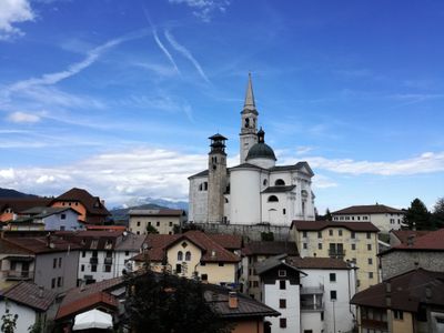
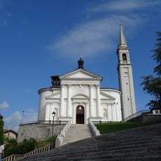
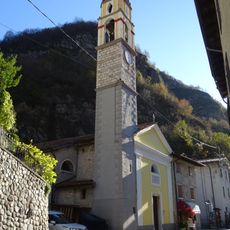
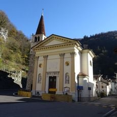
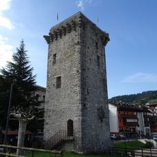
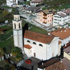
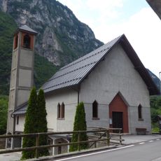
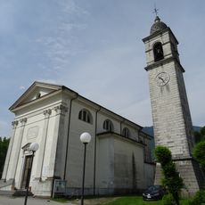
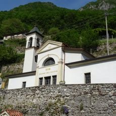
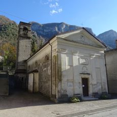
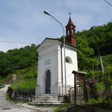
Enego is a small town in the province of Vicenza located on the Altopiano dei Sette Comuni plateau, surrounded by forests and mountain landscape. The village centers on two main squares: Piazza del Popolo, the oldest gathering place, and Piazza San Marco, which features the Scaliger Tower, a stone tower approximately 22 meters high from the 14th century and the only remaining structure from a larger fortified complex.
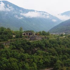
Enego was inhabited in pre-Christian times, as evidenced by archaeological finds, later coming under the rule of bishops and noble families such as the Ezzelini and Scaligeri. During the 13th and 14th centuries, the settlement changed hands between rival powers before coming under Venetian control, with the Scaligeri family leaving behind their fortification.
The name Enego may derive from a Germanic word, reflecting the region's historical ties. Today, the town preserves traditional ways of life, with residents maintaining local crafts and producing Asiago DOP cheese at small mountain farms where visitors can purchase fresh products directly from producers.
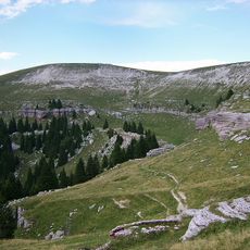
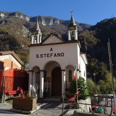
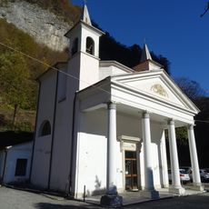
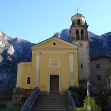
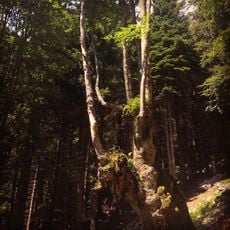
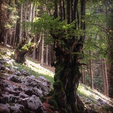
The town is easiest to explore on foot, with level paths around the main square and steep stairs leading to the church entrance. Well-marked trails are abundant throughout the area, with maps available near the church, and the region offers different activities depending on season, from summer hiking to winter cross-country skiing.
A large wooden eagle sculpture named Aquila di legno was created from trees that fell during a major storm and stands with wings spread wide as a symbol of resilience. Boundary markers called cippi along hiking trails mark historical borders between the Venetian Republic and Tyrol, allowing visitors to physically experience this historical division of the region.
The community of curious travelers
AroundUs brings together thousands of curated places, local tips, and hidden gems, enriched daily by 60,000 contributors worldwide.