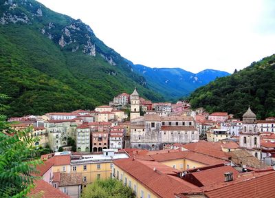
Campagna, Administrative commune in Province of Salerno, Italy
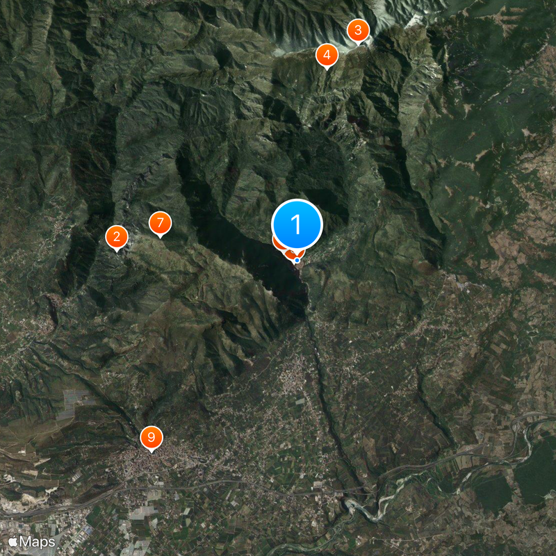
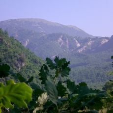
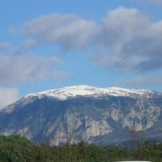
Campagna sits at 270 meters elevation within the valleys of Picentini Mountains, surrounded by the territories of Acerno, Eboli, and Serre. The settlement is divided into several districts including Camaldoli, Galdo, and Puglietta spread across the area.
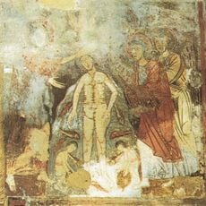
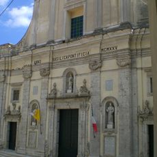
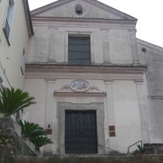
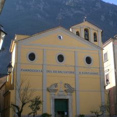
The settlement traces its origins to the 9th century during the Lombard period and later became an important religious center with a diocese. This diocesan status lasted until 1973, when the administrative arrangement changed.
The community demonstrated exceptional solidarity during World War II by sheltering Jewish people, an act that earned international recognition. This courageous chapter remains central to how residents understand their identity today.
The town is organized through several districts that provide public services for residents and visitors throughout the area. When exploring, be aware that the 270-meter elevation means some paths may be steeper than expected.
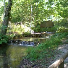
Each summer, the traditional festival A Chiena involves redirecting the Tenza river through the streets in a centuries-old cleaning custom. This water-based practice demonstrates a ritual deeply rooted in the community's past.
Location: Province of Salerno
Capital city: Campagna
Elevation above the sea: 270 m
Shares border with: Acerno, Contursi Terme, Senerchia, Eboli, Olevano sul Tusciano, Postiglione, Serre, Oliveto Citra
Website: http://comune.campagna.sa.it
GPS coordinates: 40.66661,15.10638
Latest update: December 7, 2025 09:21
Monti Picentini Regional Park
12 km
Casina di Caccia Reale Borbonica
13.9 km
Grotte de Saint-Michel-Archange
5.2 km
Monte Acellica
15 km
Oasi di Persano
11.1 km
Polveracchio
6.5 km
Oasi naturale del Monte Polveracchio
5.6 km
Oasi naturale Valle della Caccia
13.7 km
Basilica co-cathedral di Santa Maria della Pace
89 m
Castello Gerione
243 m
Lacenolandia
15.1 km
Acerno Cathedral
9.5 km
Monte Raione
4 km
Chiesa ed ex convento domenicano di San Bartolomeo
441 m
Chiesa del Santissimo Salvatore e Sant'Antonino
214 m
Santi Cosma e Damiano
6.7 km
Castello di Palomonte
15.6 km
Basilica Santuario di Santa Maria delle Grazie
11.6 km
Museum about "Operation Avalanche
6.5 km
Museo archeologico lucano dell'alta valle del Sele
10.9 km
Chiesa di San Nicola
15.6 km
Santuario de Santa María de la Esperanza
12.2 km
Museo della Memoria e della Pace
436 m
Castelluccio
11.2 km
Museo Archeologico della Media Valle del Sele
6.8 km
Chiesa di Santa Maria La Nova
4.8 km
Castello Guerritore
10.9 km
Villa D'Ayala
16 kmReviews
Visited this place? Tap the stars to rate it and share your experience / photos with the community! Try now! You can cancel it anytime.
Discover hidden gems everywhere you go!
From secret cafés to breathtaking viewpoints, skip the crowded tourist spots and find places that match your style. Our app makes it easy with voice search, smart filtering, route optimization, and insider tips from travelers worldwide. Download now for the complete mobile experience.
A unique approach to discovering new places❞
— Le Figaro
All the places worth exploring❞
— France Info
A tailor-made excursion in just a few clicks❞
— 20 Minutes