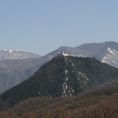
Monte Raione, Mountain summit in Monti Picentini, Italy
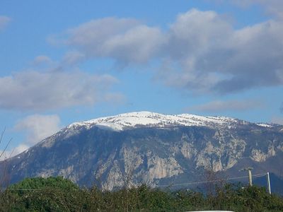
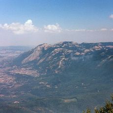
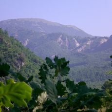
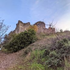
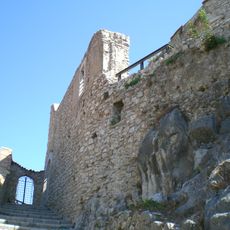
Monte Raione is a mountain summit in the Monti Picentini that rises to 1,236 meters (4,055 feet) and features steep slopes with natural paths through the Apennine range. The climb passes through varied terrain with shrubs and open grassland that define the mountain's character.
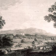
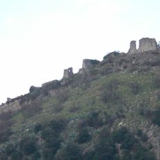
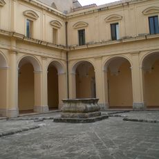
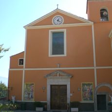
This mountain has served as a landmark and navigation point for travelers crossing the Monti Picentini since ancient times. The surrounding communities maintained their connection to this natural reference point throughout the medieval period and beyond.
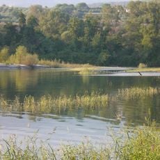
The villages around the mountain maintain herding traditions and farm practices tied closely to the seasons and mountain life. Visitors can observe how locals use the pastures and follow paths that have connected these communities for generations.
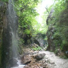
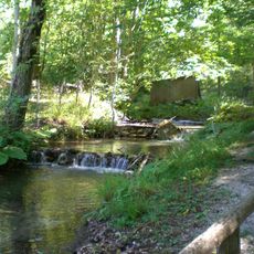
The main path to the summit starts from the eastern side and takes about three hours to reach the top, following both marked trails and natural routes. Spring through autumn offers the best hiking conditions, when weather is more stable and paths are less overgrown.
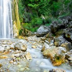
The mountain features distinctive rock formations and geological characteristics that hikers encounter along the route and that make it stand out within the broader landscape. These elements add interest for geology enthusiasts and give the visit an additional dimension beyond the basic climb.
Elevation above the sea: 1,236 m
GPS coordinates: 40.67291,15.05957
Latest update: December 14, 2025 18:40
Monti Picentini Regional Park
9.9 km
Casina di Caccia Reale Borbonica
13.8 km
Grotte de Saint-Michel-Archange
1.3 km
Monte Acellica
12.5 km
Oasi di Persano
14.3 km
Polveracchio
8 km
Oasi naturale del Monte Polveracchio
6.9 km
National Archeological Museum of Pontecagnano
15.7 km
Oasi naturale Valle della Caccia
16.6 km
Santissimo Salvatore
17.2 km
Basilica co-cathedral di Santa Maria della Pace
4 km
Castello Gerione
3.9 km
Archaeological park of the ancient Picentia
15.2 km
Castello di Montevetrano
16.8 km
Acerno Cathedral
7.7 km
Chiesa ed ex convento domenicano di San Bartolomeo
3.6 km
Chiesa del Santissimo Salvatore e Sant'Antonino
3.9 km
Santi Cosma e Damiano
5.7 km
Basilica Santuario di Santa Maria delle Grazie
15.6 km
Museum about "Operation Avalanche
5.6 km
Museo archeologico lucano dell'alta valle del Sele
14.7 km
Santuario de Santa María de la Esperanza
9.6 km
Santa Maria Assunta
17.5 km
Museo della Memoria e della Pace
3.6 km
Castelluccio
8.5 km
Museo Archeologico della Media Valle del Sele
6 km
Castello Guerritore
14.7 km
Chiesa di Santa Maria La Nova
5.4 kmVisited this place? Tap the stars to rate it and share your experience / photos with the community! Try now! You can cancel it anytime.
Discover hidden gems everywhere you go!
From secret cafés to breathtaking viewpoints, skip the crowded tourist spots and find places that match your style. Our app makes it easy with voice search, smart filtering, route optimization, and insider tips from travelers worldwide. Download now for the complete mobile experience.
A unique approach to discovering new places❞
— Le Figaro
All the places worth exploring❞
— France Info
A tailor-made excursion in just a few clicks❞
— 20 Minutes