Enable Location

We need your location to show you interesting places around you

Discover nearby places

Find interesting locations and hidden gems around you

Precise directions

Get accurate directions and distances to places

Your location is never shared with other users. It's only used when you tap the location button.

Canazei

Log in to your account

Start exploring — it's free

Trusted by 62,864 travelers worldwide

Continue with Google
Continue with Apple
or

We will send you a code to connect

By continuing, you accept our Terms and Conditions and our Privacy Policy

Check your inbox

We've sent a pincode in your inbox. Please enter the code below.

Canazei, Mountain municipality in Val di Fassa, Italy

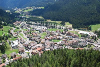
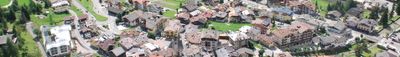
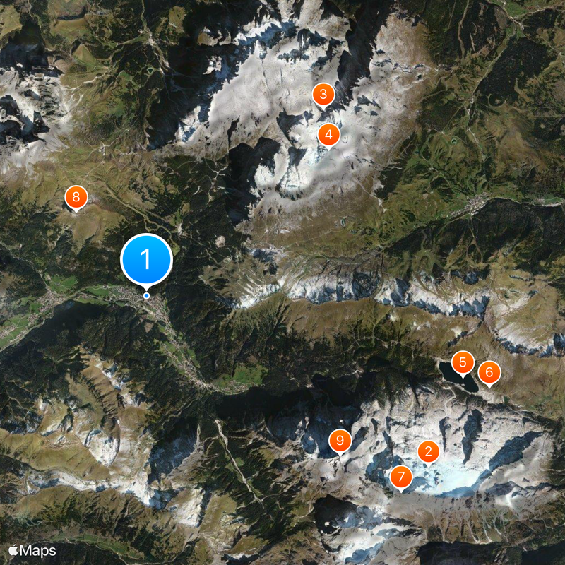
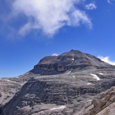
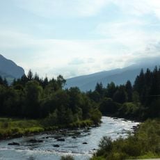
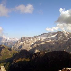
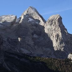
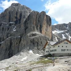
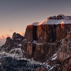
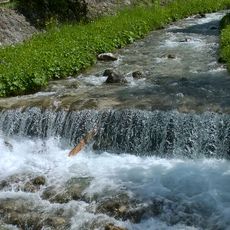
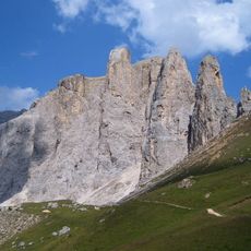
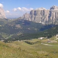
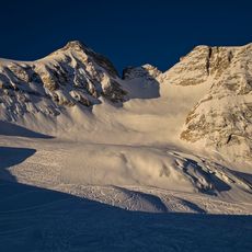
Canazei is a municipality in Val di Fassa at 4806 feet (1465 meters), framed by the peaks of the Sella Group, Sassolungo and Marmolada. The settlement sits at the confluence of two streams and stretches along a broad valley floor with views of glaciated slopes and steep rock faces.

The name comes from the Latin word for reed marsh, recalling the wetland ground at the time of early settlement. During the Middle Ages the site developed as a stopover on an important alpine route between South Tyrol and Veneto.

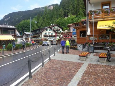
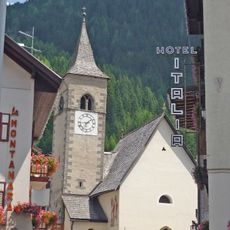
Residents speak Ladin in daily life, a Romance language you hear on shop signs and public announcements. Village life follows an alpine rhythm with seasonal festivals where local music and dance express the connection to the mountains.

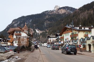
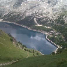
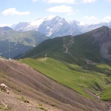
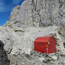
The municipality sits centrally in the Sella Ronda circuit with direct lift access to all four passes of the loop. In summer hiking trails start from the village center, leading into higher elevations and accelerated by cable cars when available.

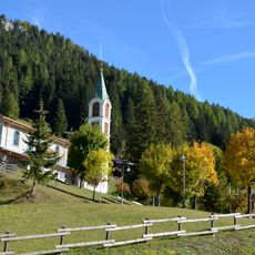
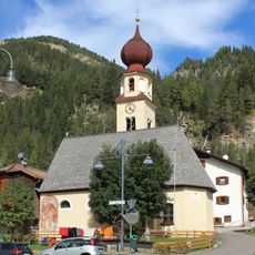
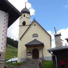
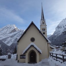
The small church Madonna della Neve from 1595 shows an onion dome and a wall painting of Saint Christopher on the south side. This figure type appears often along old alpine routes, where travelers prayed for protection from mountain dangers.

The community of curious travelers

AroundUs brings together thousands of curated places, local tips, and hidden gems, enriched daily by 60,000 contributors worldwide.

Start exploring
Location
Elevation above the sea
1,460 m
Shares border with
Campitello di Fassa, Corvara in Badia, Livinallongo del Col di Lana, Mazzin, Sëlva, Rocca Pietore, San Giovanni di Fassa
Address
38032 Canazei, Autonomous Province of Trento, Italy
GPS coordinates
46.47688,11.77107
Latest update
January 13, 2026 16:53
Trentino-Alto Adige, tourism in Italy: historic towns, mountain lakes and Dolomites

South Tyrol and Trentino stretch between the Alps and the Dolomites, in a place where Italy meets Central Europe. There are towns like Trento and Bolzano, where Renaissance squares sit beside Christmas markets. Merano has hot springs and gardens. The lakes of Garda, Molveno, and Braies reflect the...

« Canazei - Mountain municipality in Val di Fassa, Italy » is provided by Around Us (aroundus.com). Images and texts are derived from Wikimedia project under a Creative Commons license. You are allowed to copy, distribute, and modify copies of this page, under the conditions set by the license, as long as this note is clearly visible.

Discover hidden gems everywhere you go!

From secret cafés to breathtaking viewpoints, skip the crowded tourist spots and find places that match your style. Our app makes it easy with voice search, smart filtering, route optimization, and insider tips from travelers worldwide. Download now for the complete mobile experience.

Around Us App Screenshot

A unique approach to discovering new places

Le Figaro

All the places worth exploring

France Info

A tailor-made excursion in just a few clicks

20 Minutes

Around Us
Travel Guide & Maps
Download

Send to your phone

QR Code
1

Open the camera app on your mobile.

2

Point at the QR code with your camera. A notification will appear.

3

Tap the notification to open the link.