Enable Location

We need your location to show you interesting places around you

Discover nearby places

Find interesting locations and hidden gems around you

Precise directions

Get accurate directions and distances to places

Your location is never shared with other users. It's only used when you tap the location button.

Chiusi

Log in to your account

Start exploring — it's free

Trusted by travelers worldwide

Continue with Google
Continue with Apple
or

We will send you a code to connect

By continuing, you accept our Terms and Conditions and our Privacy Policy

Check your inbox

We've sent a pincode in your inbox. Please enter the code below.

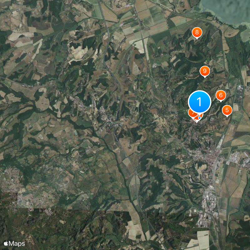
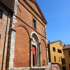
Chiusi, Etruscan archaeological site in Tuscany, Italy

Description

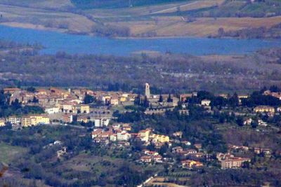
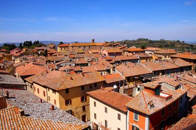
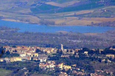
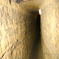
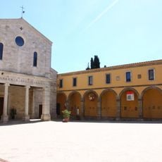
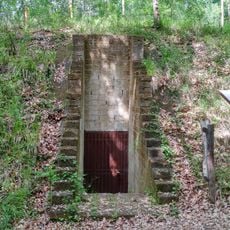
Chiusi is a hilltop town near the Umbrian border in the Province of Siena. The settlement sits at about 400 meters elevation and features an ancient network of underground passages that runs beneath its historical center, reaching several meters deep.

History

The town reached its peak power in the 6th century BC under King Porsenna, who controlled Rome and established major trade routes. This influence shaped the region for generations and left traces in its architecture and development.

Culture

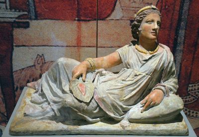
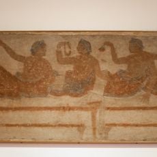
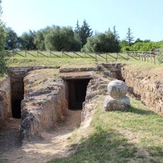
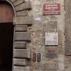
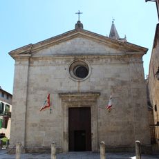
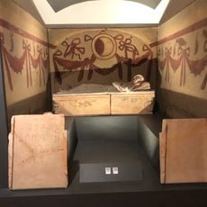
The National Etruscan Museum houses objects from the region such as vessels and terracottas that reveal how ancient people here lived and worked. This collection comes from local excavations and shows the craftsmanship traditions of those times.

Practical

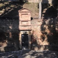
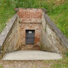
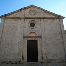
Visitors can explore the Diocesan Museum and ancient tunnels through a single entrance, accessing multiple exhibition levels throughout. It is wise to wear comfortable shoes and allow time to climb the slope, as the town sits on steep terrain.

Did you know?

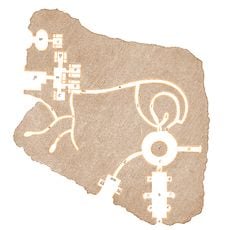
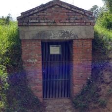
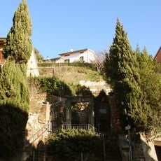
Beneath the town lies a striking underground water storage system from the 1st century AD, connected through a dense network of passages. This labyrinth is often called Porsenna's Labyrinth and reveals how sophisticated water engineering was in ancient times.

Capital city
Chiusi
Elevation above the sea
398 m
Shares border with
Cetona, Chianciano Terme, Città della Pieve, Montepulciano, Sarteano, Castiglione del Lago
Address
Ufficio Turistico, Via Porsenna, 79 53043 Chiusi SI
GPS coordinates
43.01667,11.95000
Latest update
December 17, 2025 09:15

AroundUs brings together thousands of curated places, local tips, and hidden gems, enriched daily by 60,000 contributors worldwide. Discover all places nearby (Province of Siena).

« Chiusi - Etruscan archaeological site in Tuscany, Italy » is provided by Around Us (aroundus.com). Images and texts are derived from Wikimedia project under a Creative Commons license. You are allowed to copy, distribute, and modify copies of this page, under the conditions set by the license, as long as this note is clearly visible.

Discover hidden gems everywhere you go!

From secret cafés to breathtaking viewpoints, skip the crowded tourist spots and find places that match your style. Our app makes it easy with voice search, smart filtering, route optimization, and insider tips from travelers worldwide. Download now for the complete mobile experience.

Around Us App Screenshot

A unique approach to discovering new places

Le Figaro

All the places worth exploring

France Info

A tailor-made excursion in just a few clicks

20 Minutes

Around Us
Travel Guide & Maps
Download

Send to your phone

QR Code
1

Open the camera app on your mobile.

2

Point at the QR code with your camera. A notification will appear.

3

Tap the notification to open the link.