Enable Location

We need your location to show you interesting places around you

Discover nearby places

Find interesting locations and hidden gems around you

Precise directions

Get accurate directions and distances to places

Your location is never shared with other users. It's only used when you tap the location button.

Santo Stefano d'Aveto

Log in to your account

Start exploring — it's free

Trusted by 64,030 travelers worldwide

Continue with Google
Continue with Apple
or

We will send you a code to connect

By continuing, you accept our Terms and Conditions and our Privacy Policy

Check your inbox

We've sent a pincode in your inbox. Please enter the code below.

Santo Stefano d'Aveto
Discussion Reviews 2 Photos
20.4k Popularity

Santo Stefano d'Aveto, Italian comune

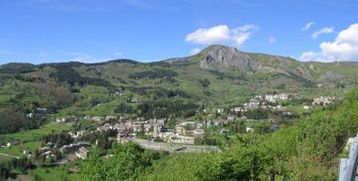
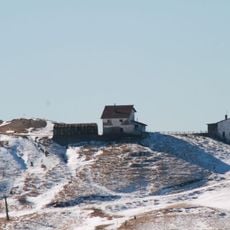
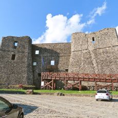
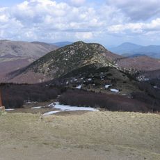
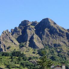
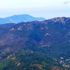
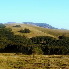
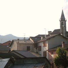
Santo Stefano d'Aveto is a small commune located in the Ligurian Apennines north of Genoa, sitting at approximately 1,000 meters (3,280 feet) elevation. The village features narrow stone streets, traditional houses with shuttered windows, and a quiet central square surrounded by forests and grasslands where cattle graze freely.

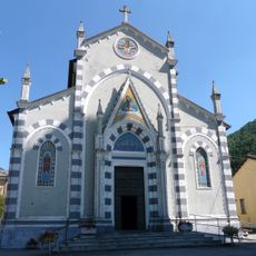
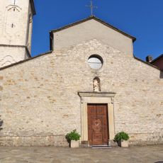
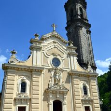
This settlement was established in the Middle Ages as a farming village nestled in the mountains, where families maintained their roots for centuries. The name derives from its patron saint, reflecting the deep religious traditions that have shaped the region since medieval times.

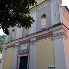
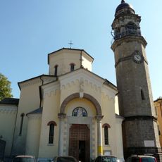
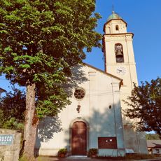
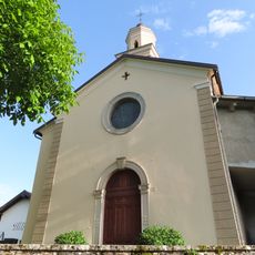
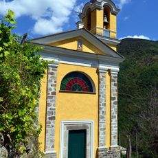
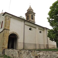
Santo Stefano d'Aveto takes its name from its patron saint, celebrated on December 12th with processions that reflect the community's connection to local traditions. The village center around the church and main square serves as a gathering place where residents maintain customs rooted in generations of family life in the mountains.

The village is accessible via mountain roads from Genoa and nearby towns, with the journey itself offering scenic views through forests and fields. Visitors should prepare for changing weather, especially in winter when snow can affect road conditions, and wear appropriate footwear for exploring the stone-paved streets.

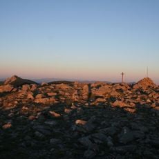
Santo Stefano d'Aveto holds the distinction of having the highest-altitude municipal building in all of Liguria, an unusual geographic feature for such a small settlement. This rare characteristic makes it noteworthy for visitors seeking more than a typical village experience.

The community of curious travelers

AroundUs brings together thousands of curated places, local tips, and hidden gems, enriched daily by 60,000 contributors worldwide.

Start exploring
Capital city
Santo Stefano d'Aveto
Elevation above the sea
1,012 m
Shares border with
Borzonasca, Ferriere, Rezzoaglio, Bedonia, Tornolo
Address
Ufficio Turistico, Piazza del Popolo, 1, 16049 Santo Stefano d'Aveto GE
GPS coordinates
44.54772,9.45073
Latest update
February 16, 2026 21:41
Reviews
Share your experience

No review yet

Discussions
Start a discussion...

No discussion yet

« Santo Stefano d'Aveto - Italian comune » is provided by Around Us (aroundus.com). Images and texts are derived from Wikimedia project under a Creative Commons license. You are allowed to copy, distribute, and modify copies of this page, under the conditions set by the license, as long as this note is clearly visible.

Discover hidden gems everywhere you go!

From secret cafés to breathtaking viewpoints, skip the crowded tourist spots and find places that match your style. Our app makes it easy with voice search, smart filtering, route optimization, and insider tips from travelers worldwide. Download now for the complete mobile experience.

Around Us App Screenshot

A unique approach to discovering new places

Le Figaro

All the places worth exploring

France Info

A tailor-made excursion in just a few clicks

20 Minutes

Around Us
Travel Guide & Maps
Download

Send to your phone

QR Code
1

Open the camera app on your mobile.

2

Point at the QR code with your camera. A notification will appear.

3

Tap the notification to open the link.