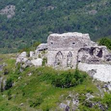
Monte Oramara, Mountain peak between Liguria and Emilia-Romagna, Italy
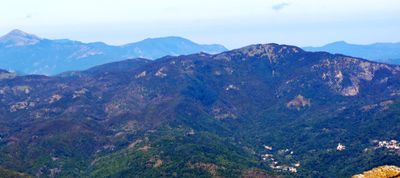
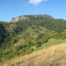
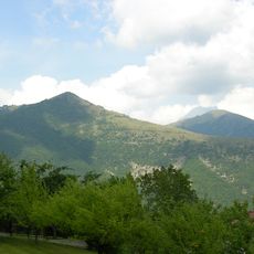
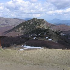
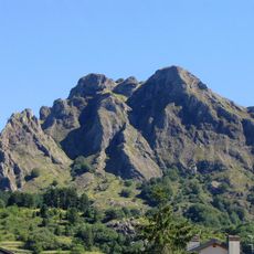
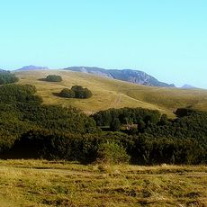
Monte Oramara is a mountain peak in the Ligurian Apennines standing at 1,522 meters and positioned at the border between two regions. Its slopes are covered with beech forests that define the landscape throughout the year.
The mountain served as a natural border between Liguria and Emilia-Romagna regions for centuries. This geographic position shaped regional divisions and created an important boundary line between different territories.
The name Oramara comes from local language roots and refers to the mountain's position along a regional border. Visitors can experience how this location connects different dialect areas and traditions from the Genoa and Piacenza provinces.
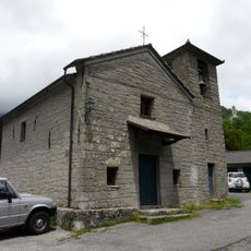
Hikers can reach the summit through marked trails starting from the villages of Vicosoprano, Vicomezzano, or Alpepiana. The nearby Rifugio Foppiano mountain shelter provides shelter and serves as a key reference point for navigation.
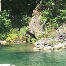
The Gramizzola stream originates from the slopes of this peak and flows into the broader Trebbia river system below. This waterway creates a visible connection between the mountain region and the valleys beneath.
The community of curious travelers
AroundUs brings together thousands of curated places, local tips, and hidden gems, enriched daily by 60,000 contributors worldwide.