Ussita

Log in to your account

AroundUs is a community-driven map of interesting places, built by curious explorers like you. It grows with every review, story, and photo you share.
Connect to save your favorite spots, contribute locations, and create personalized routes.
Continue with Google
Continue with Apple
Continue with X
Continue with Facebook
Continue with email
By continuing, you accept our Terms and Conditions and our Privacy Policy
Create an account
Add to collection
Map
Suggest a change
Share

Ussita, Italian comune

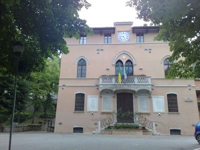
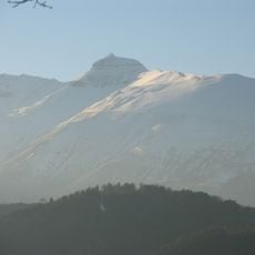
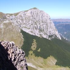
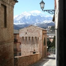
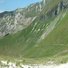
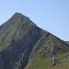
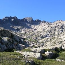
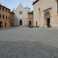
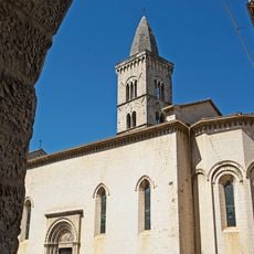
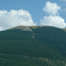
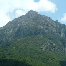
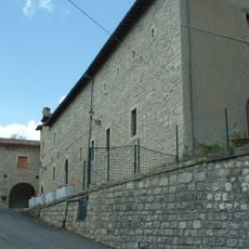
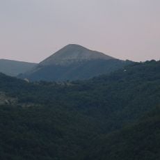
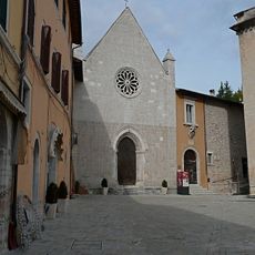
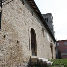
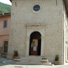
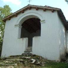
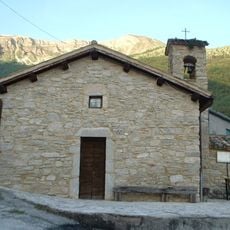
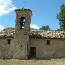
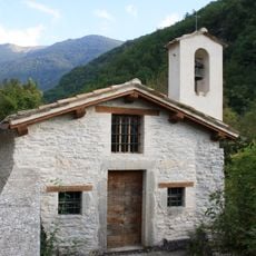
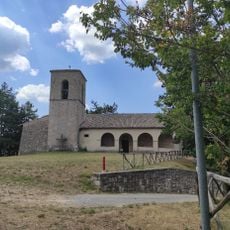
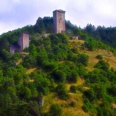
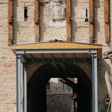
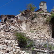
Ussita is a small commune in the Province of Macerata at about 2,440 feet (744 m) elevation, surrounded by green hills and mountain peaks within the Monti Sibillini National Park. The center features narrow streets lined with stone houses, medieval churches, and local shops, though temporary wooden structures remain in place following the 2016 earthquake.

Settlement began in ancient times along the river, whose water power was later used for energy production. The village gained independence from neighboring communities in 1913, while the construction of a hydroelectric plant in 1928 marked an important moment in local development.

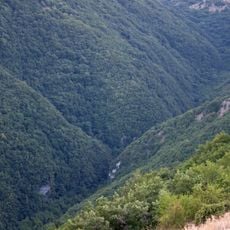
The town takes its name from the river flowing through the valley, which has shaped local life for centuries. Residents maintain strong connections to mountain traditions, gathering in public spaces for seasonal festivals and community celebrations throughout the year.

The town sits on a provincial road connecting to nearby Visso and offers a well-equipped camper area with water and waste services near the soccer stadium. Visitors should expect basic amenities as some facilities are still being rebuilt, but numerous walking trails and cycling routes lead into the surrounding mountains.

Along the river stands a sculpture honoring Pietro Capuzi, a patriot killed by German soldiers in 1944 who represents local resistance during the war. In the Calcara area sits the enigmatic Fontana del Fantasma, an old spring surrounded by local legends about a girl who vanished.

Location: Province of Macerata

Elevation above the sea: 744 m

Shares border with: Acquacanina, Bolognola, Castelsantangelo sul Nera, Montefortino, Pieve Torina, Visso

Address: 62039 Ussita, Province of Macerata, Italy

Website: http://comune.ussita.mc.it

GPS coordinates: 42.94413,13.14295

Latest update: January 13, 2026 09:06

Photos
Marche in Italy: UNESCO heritage, natural parks and the Adriatic coast

The Marche region in central Italy stretches between the Apennines and the Adriatic Sea. This collection brings together places that let you explore the area: towns of art like Urbino and Ascoli Piceno, natural parks in the mountains, underground caves at Frasassi, seaside resorts along the coast,...

Reviews

Visited this place? Tap the stars to rate it and share your experience / photos with the community! Try now! You can cancel it anytime.

« Ussita - Italian comune » is provided by Around Us (aroundus.com). Images and texts are derived from Wikimedia project under a Creative Commons license. You are allowed to copy, distribute, and modify copies of this page, under the conditions set by the license, as long as this note is clearly visible.

Discover hidden gems everywhere you go!

From secret cafés to breathtaking viewpoints, skip the crowded tourist spots and find places that match your style. Our app makes it easy with voice search, smart filtering, route optimization, and insider tips from travelers worldwide. Download now for the complete mobile experience.

Around Us App Screenshot

A unique approach to discovering new places

Le Figaro

All the places worth exploring

France Info

A tailor-made excursion in just a few clicks

20 Minutes