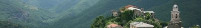
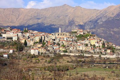
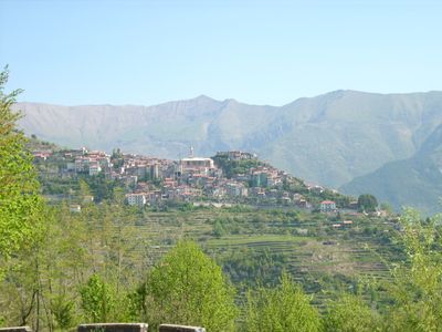
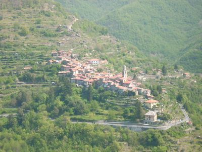
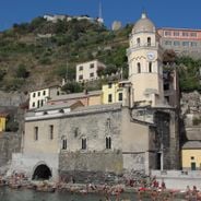
Triora, Medieval commune in Province of Imperia, Italy.
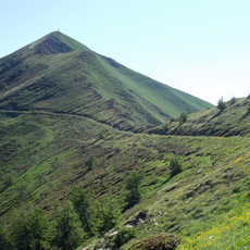
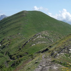
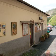
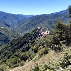
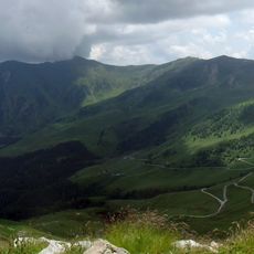
Triora is a mountain village located in the Ligurian Alps at roughly 780 meters elevation, characterized by narrow lanes and stone buildings that reflect its age. The municipality encompasses several smaller settlements and hamlets scattered throughout its territory.
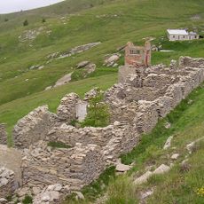
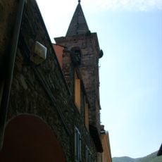
The settlement developed during medieval times as a fortified community high in the mountains and long served as a border region between different powers. The 16th century brought a turbulent period that left deep marks on the town's character.
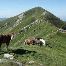
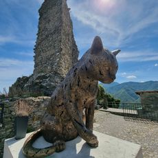
The village hosts seasonal celebrations where locals gather to honor their connection to the land and mountain life. These gatherings reflect how the community values its relationship with nature and traditional ways of living.
Visitors should take care during winter weather or after heavy rain, as the narrow pathways can become slippery and access may be difficult. Sturdy footwear and patience when navigating steep lanes are advisable.
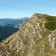
The village sits right at the border with France, making it a crossroads between two countries high in the Alps. This frontier position has shaped both its history and the flow of cultural exchange across generations.
Location: Province of Imperia
Capital city: Triora
Elevation above the sea: 780 m
Shares border with: Briga Alta, Mendatica, Molini di Triora, Montegrosso Pian Latte, Pigna, Castel Vittorio, La Brigue, Saorge
Address: Pro Loco, Corso Italia, 7, Triora
Website: http://comune.triora.im.it
GPS coordinates: 44.00000,7.76667
Latest update: December 17, 2025 09:56
Liguria stretches as a narrow coastal strip between the Maritime Alps and the Apennines, combining maritime tradition with mountainous interior. Along the Riviera di Ponente in the west lie towns such as Dolceacqua with its medieval Doria Castle, the fortified town of Noli, and the Hanbury Botanical...
Monte Saccarello
8.2 km
Parco naturale regionale delle Alpi Liguri
5.8 km
Monte Frontè
6.2 km
Cima Garlenda
6.8 km
V Settore di Copertura Media Roja
8.2 km
Castle of Triora
773 m
Museo di Triora
801 mMonte Tanarello
9.1 km
Museo Regionale Etnografico e della Stregoneria
798 mMadonna della Montà
1.1 km
San Lorenzo
1.2 kmMonte Gerbonte
6 kmMonte Saccarello - Monte Fronté
6.4 km
Ippocastano
939 mIppocastano
651 mToraggio - Gerbonte
7.1 km
Saccarello - Garlenda
5.7 kmIppocastano
640 mMonte Toraggio - Monte Pietravecchia
8.7 kmAcero di monte
6.8 kmScenic viewpoint
8.6 kmCabotina
876 mAntico Forno
831 mIl Gatto di Triora
767 mScenic viewpoint
4 kmScenic viewpoint
7.1 kmMadonna della Neve
6.7 kmCascade des Fraches
8.7 kmVisited this place? Tap the stars to rate it and share your experience / photos with the community! Try now! You can cancel it anytime.
Discover hidden gems everywhere you go!
From secret cafés to breathtaking viewpoints, skip the crowded tourist spots and find places that match your style. Our app makes it easy with voice search, smart filtering, route optimization, and insider tips from travelers worldwide. Download now for the complete mobile experience.
A unique approach to discovering new places❞
— Le Figaro
All the places worth exploring❞
— France Info
A tailor-made excursion in just a few clicks❞
— 20 Minutes