Roccastrada, Italian comune
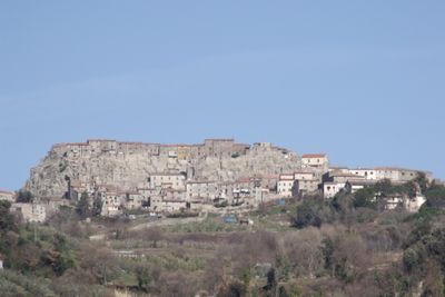
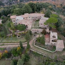
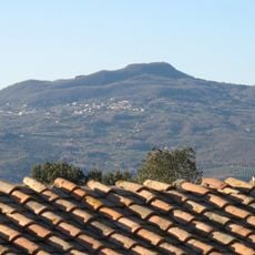
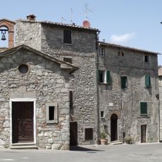
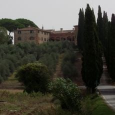
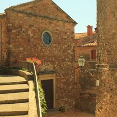
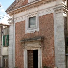
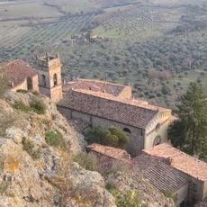
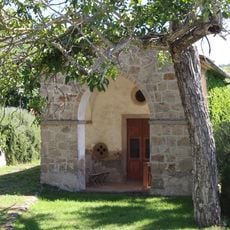
Roccastrada is a small commune in the Province of Grosseto in Tuscany, nestled among green hills and farmland. The municipality comprises several villages including Roccatederighi, Sassofortino, and Montemassi, each with its own character and traditional stone architecture.
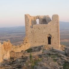
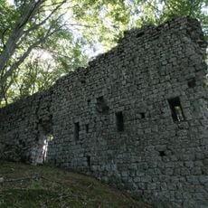
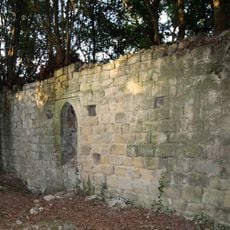
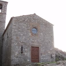
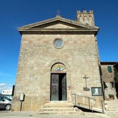
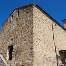
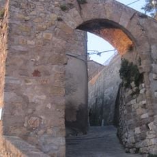
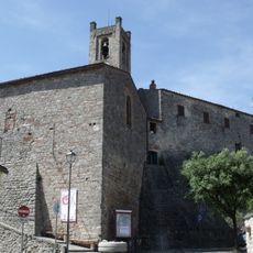
The area developed from medieval fortified settlements and castles built to control the territory. Remnants like the towers and walls of these old villages, including the Castello di Montemassi, mark the defensive heritage that shaped the region for centuries.
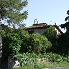
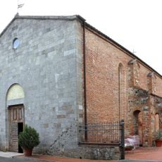
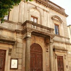
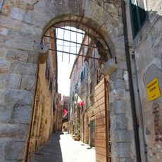
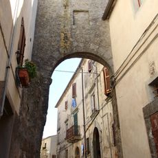
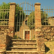
The town reflects its farming and mining heritage through the layout of old stone houses and narrow streets. Daily life moves slowly, with residents gathering in squares and visiting local shops in a rhythm that has changed little over generations.
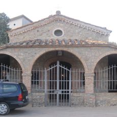
The area is small and walkable on foot, with parking available in the town center for visitors with cars. Public transportation options are limited, so having a vehicle is advisable for reaching the different villages and exploring the surrounding countryside.
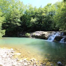
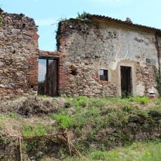
The territory was for centuries a major center for mining and iron production, with abandoned mines and factories like the Ferriera di Torniella that still stand as reminders of this industrial past. These remains create a surprising contrast to the peaceful rural landscape visible today.
The community of curious travelers
AroundUs brings together thousands of curated places, local tips, and hidden gems, enriched daily by 60,000 contributors worldwide.