Geography of Italy, Physical geography of Mediterranean peninsula, Italy.
The geography of Italy covers the physical features of a long peninsula extending into the central Mediterranean, stretching roughly 750 miles from the Alps to the southern tip of Calabria. Multiple mountain ranges run through the country, while the wide Po plain spreads across the north and coastlines border four different seas.
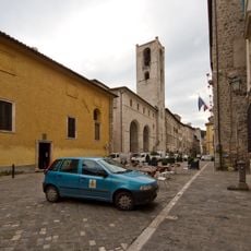
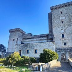
The mountainous terrain divided the peninsula into separate regions where independent cities and territories developed over centuries. This natural fragmentation shaped political structures until unification in the 19th century and explains regional differences visible today.
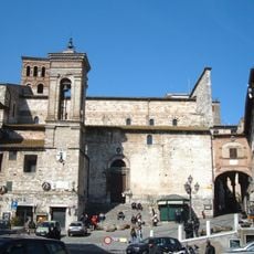
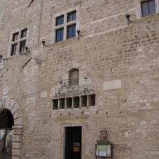
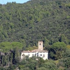
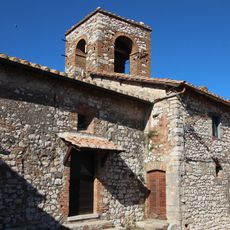
The diverse terrain of Italy created regional variations in agriculture, architecture, and local traditions, from Alpine valleys to Mediterranean coastal settlements.
The northern Alpine regions experience cold winters with snowfall, while southern coastal areas maintain a mild Mediterranean climate with dry summers. The Apennines influence local weather patterns and create different climate zones within short distances.
Mount Etna on Sicily stands as Europe's largest active volcano, reaching 3,326 meters in height and experiencing regular geological activity.
The community of curious travelers
AroundUs brings together thousands of curated places, local tips, and hidden gems, enriched daily by 60,000 contributors worldwide.