Stazzema, Italian comune
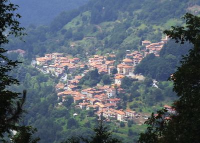
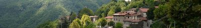
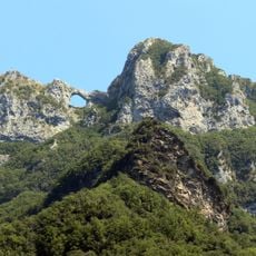
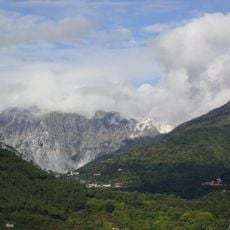
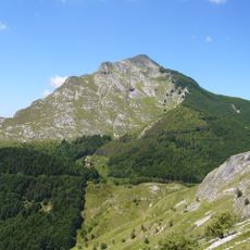
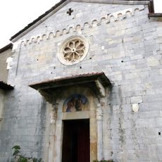
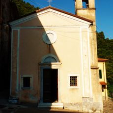
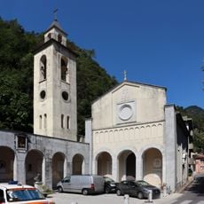
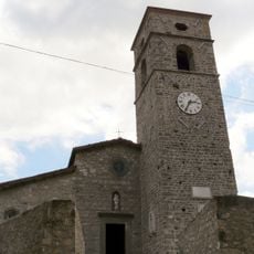
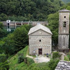
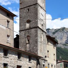
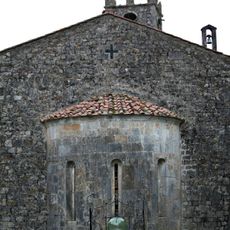
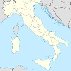
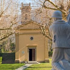
Stazzema is a mountain commune in Lucca province that spans across the Apuan Alps and consists of several small stone villages scattered among chestnut forests. The center features a clock tower from 1739 and the church of Santa Maria Assunta with a white marble facade and three bells from the 1500s.
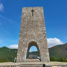
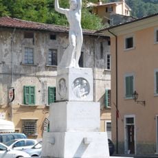
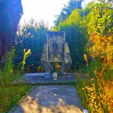
The area has been inhabited since ancient times, as evidenced by burial sites left by Apuan Ligurians that remain in the landscape today. Medieval silver mining and fortifications developed later, while World War II left a deep mark with the Sant'Anna massacre on August 12, 1944, for which the town received a gold medal for valor in 1970.
Stazzema's identity is tied to chestnut traditions that shape daily life and local cooking. The narrow lanes and tightly built villages reflect how people have lived and maintained their customs within these mountains for generations.
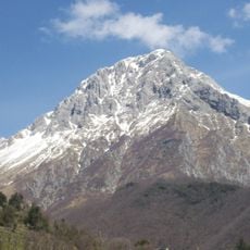
Explore this place on foot since steep slopes and narrow lanes make vehicle travel difficult and a slower pace is recommended. Wear hiking shoes and bring weather protection because the mountains change conditions quickly and higher elevations become cold and windy.
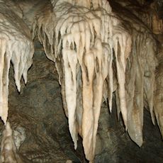
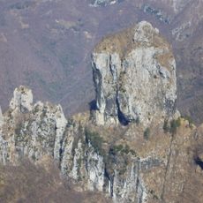
The Antro del Corchia is one of Italy's largest cave systems with tunnels descending to deep levels and featuring stalactites and stalagmites formed over thousands of years. This underground world is open to visitors and offers a rare glimpse into geological formations shaped by water over long periods.
The community of curious travelers
AroundUs brings together thousands of curated places, local tips, and hidden gems, enriched daily by 60,000 contributors worldwide.