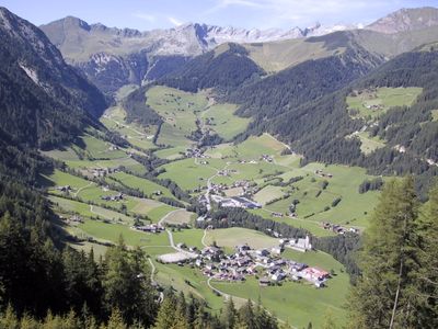
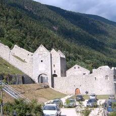
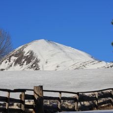
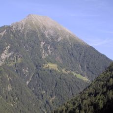
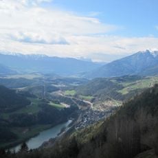
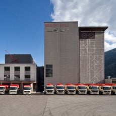
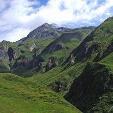
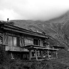
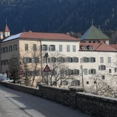
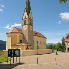
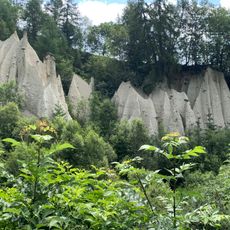
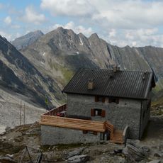
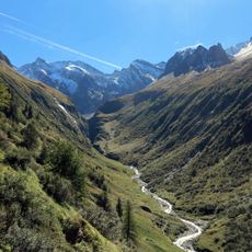
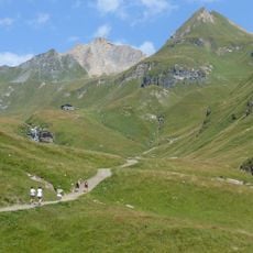
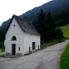
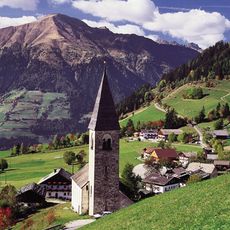
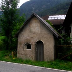
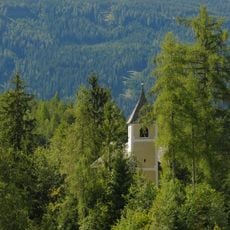
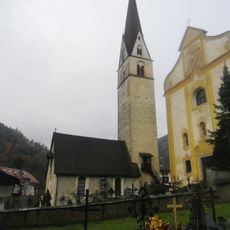
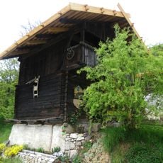
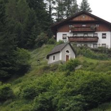
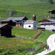
Vintl, municipality in South Tyrol, Italy
Location: South Tyrol
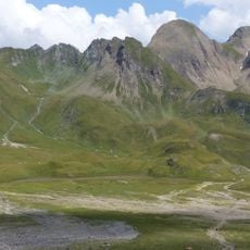
Elevation above the sea: 755 m
Shares border with: Kiens, Mühlbach, Rodeneck, Mühlwald, Terenten, Pfitsch
Website: http://comune.vandoies.bz.it
GPS coordinates: 46.81518,11.72078
Latest update: March 7, 2025 13:40
Mühlbacher Klause
2.8 km
Gitschberg
5.6 km
Eidechsspitze
6.7 km
Mühlbacher Stausee
3.7 km
Mühle Rieper
221 m
Wurmaulspitze
12.7 km
Walter-Brenninger-Biwak
13.9 km
Grabspitze
16 km
Cascate di Vandoies
268 m
St. Andrew
7.6 km
St. Helena
4.6 km
St. Jacob
4.5 km
Freienthurn
4.6 km
St. George
4.4 km
Seefeldspitze
9.8 km
Eselskopf
13.4 km
Terenten
4.9 km
Rotes Beil
16 km
Röteck
15.2 km
Pfannelspitze
13.8 km
Herz-Jesu-Kapelle beim Unterweglechen
7 km
St. Margareth in Margen
3.6 km
Stiegerstöckl
3.4 km
St. Zeno in Pein
3.9 km
Old parish church of Vintl
41 m
Kapelle und Kornkasten beim Stöcklhuber
1.3 km
Eggerkapelle
9.7 km
Maria-Hilf-Kapelle auf der Fane-Alm
10.7 kmReviews
Visited this place? Tap the stars to rate it and share your experience / photos with the community! Try now! You can cancel it anytime.
Discover hidden gems everywhere you go!
From secret cafés to breathtaking viewpoints, skip the crowded tourist spots and find places that match your style. Our app makes it easy with voice search, smart filtering, route optimization, and insider tips from travelers worldwide. Download now for the complete mobile experience.
A unique approach to discovering new places❞
— Le Figaro
All the places worth exploring❞
— France Info
A tailor-made excursion in just a few clicks❞
— 20 Minutes