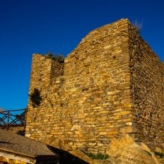
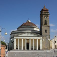
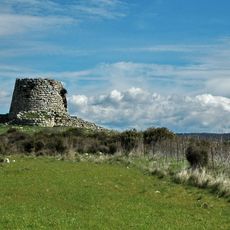
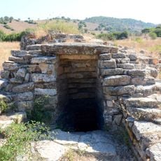
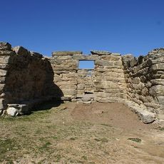
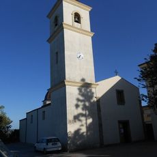
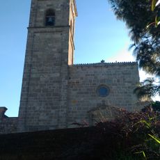
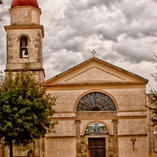
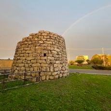
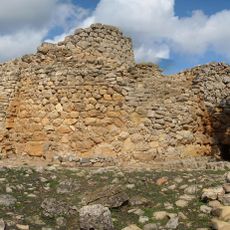
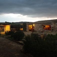
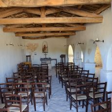
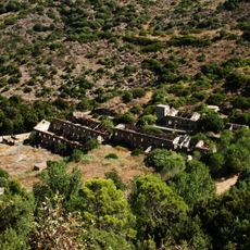
Siurgus Donigala, Italian comune
The community of curious travelers
AroundUs brings together thousands of curated places, local tips, and hidden gems, enriched daily by 60,000 contributors worldwide.
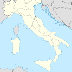
Location
Capital city
Siurgus Donigala
Elevation above the sea
452 m
Shares border with
Goni, Mandas, Nurri, San Basilio, Senorbì, Silius, Suelli, Orroli
GPS coordinates
39.60000,9.18783
Latest update
March 12, 2025 20:14