
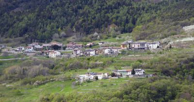
Garniga Terme, Italian comune
Location: Trentino
Elevation above the sea: 810 m
Shares border with: Cimone, Trento, Aldeno
Website: http://comunegarnigaterme.it
GPS coordinates: 46.00253,11.08706
Latest update: March 4, 2025 14:22
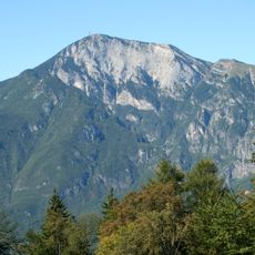
Monte Bondone
4.6 km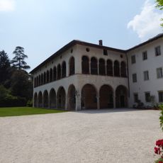
Villa Margon
3 km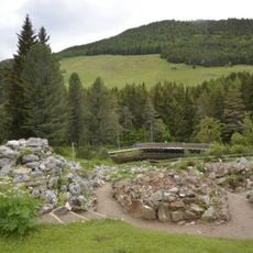
Giardino Botanico Alpino alle Viotte di Monte Bondone
4.6 km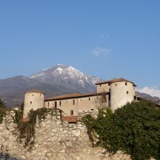
Torre Franca Castle
3.4 km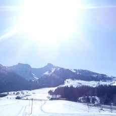
Riserva naturale integrale delle Tre Cime del Monte Bondone
3.9 km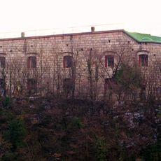
Forte di Romagnano
2.9 km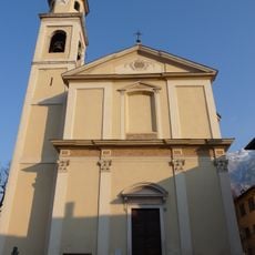
Saint Leonard church
3.2 km
Saint Modestus church
2.9 km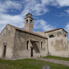
Saint Oswald church
399 m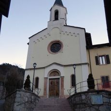
Saint Brigid church
2.3 km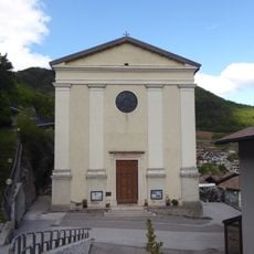
Saint Roch church
3 km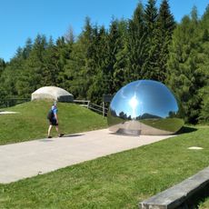
"Terrazza delle Stelle" observatory
4.1 km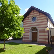
Mater Amabilis church
3.2 km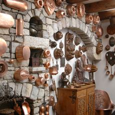
Navarini Rami
4.1 km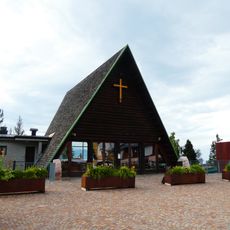
Church of the skiers lost on the mountains
4.7 km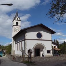
Sacred Heart of Jesus church
92 m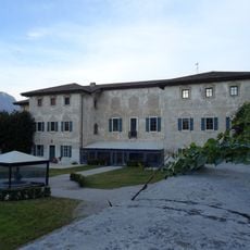
Villa Bortolazzi
3.1 km
Our Lady of the Rosary church
1.3 km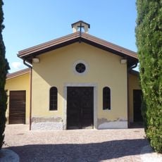
Holy Cross chapel
3.2 km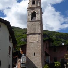
Torre Civica
2.8 km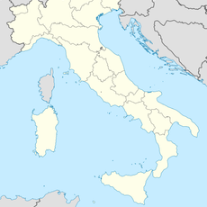
Monte Alto
4.5 km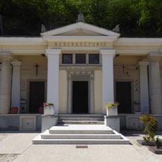
Crucifix chapel
2.2 km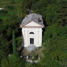
Immacolata chapel
2.6 km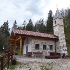
Saint Maurice chapel
1.4 km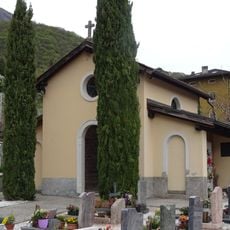
Crucifix chapel
1.9 km
Our Lady of Mount Carmel chapel
3.1 km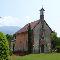
Nativity of Mary chapel
3.1 km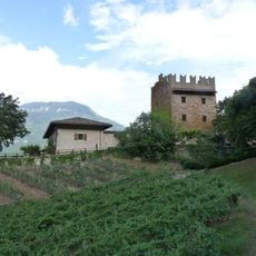
Torre di Ravina
4 kmReviews
Visited this place? Tap the stars to rate it and share your experience / photos with the community! Try now! You can cancel it anytime.
Discover hidden gems everywhere you go!
From secret cafés to breathtaking viewpoints, skip the crowded tourist spots and find places that match your style. Our app makes it easy with voice search, smart filtering, route optimization, and insider tips from travelers worldwide. Download now for the complete mobile experience.

A unique approach to discovering new places❞
— Le Figaro
All the places worth exploring❞
— France Info
A tailor-made excursion in just a few clicks❞
— 20 Minutes