Ligurian Apennines, Mountain range between Liguria and Emilia-Romagna, Italy.
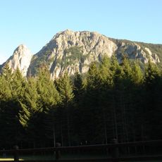
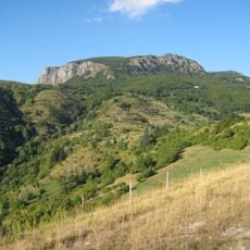
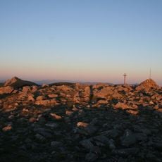
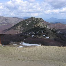
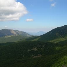
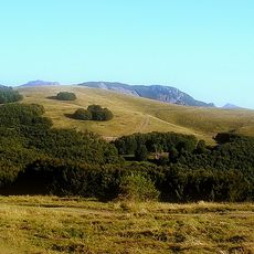
The Ligurian Apennines form a mountain range stretching from Colle di Cadibona near Savona to La Cisa Pass, creating a natural dividing line between the Mediterranean coast and the Po Valley plains. Monte Maggiorasca rises to 1,804 meters (5,920 feet), making it the highest peak and a central reference point for hikers throughout the region.
Roman engineers built strategic roads through these mountains, including the Via Postumia in 148 BCE, which connected Genoa to Aquileia across mountain passages. These ancient routes shaped commerce and movement through the region for centuries to come.
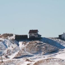
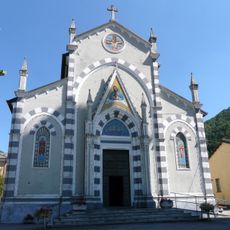
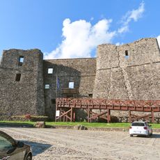
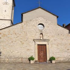
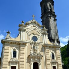
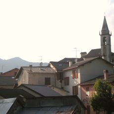
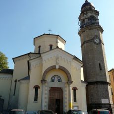
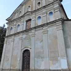
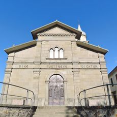
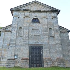
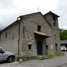
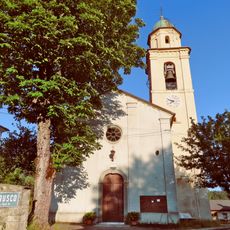
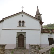
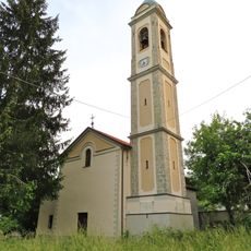
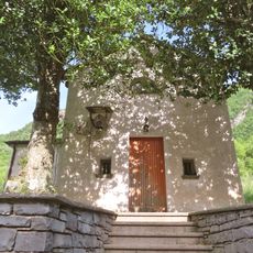
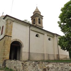
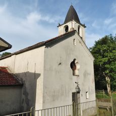
Medieval villages and stone fortifications dot the slopes, telling the story of communities that once connected coastal trade routes with inland passages. These settlements reveal how people adapted to living between two distinct regions.
The best hiking season runs from May through October when trails are dry and passable. Sturdy footwear and plenty of water are essential since the elevation and exposure can bring sudden weather changes.
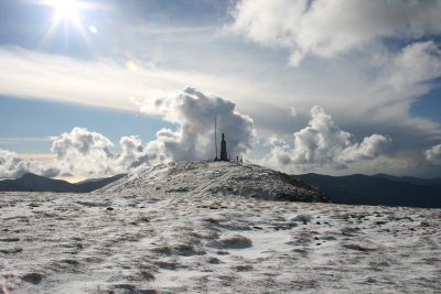
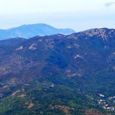
On clear days, visitors standing at higher elevations can spot both snow-dusted peaks and the Mediterranean Sea in a single view. This rare perspective reveals the sharp contrast between the alpine and coastal worlds separated by just a few kilometers.
The community of curious travelers
AroundUs brings together thousands of curated places, local tips, and hidden gems, enriched daily by 60,000 contributors worldwide.