Enable Location

We need your location to show you interesting places around you

Discover nearby places

Find interesting locations and hidden gems around you

Precise directions

Get accurate directions and distances to places

Your location is never shared with other users. It's only used when you tap the location button.

Pani Loriga

Log in to your account

Start exploring — it's free

Trusted by 61,450 travelers worldwide

Continue with Google
Continue with Apple
or

We will send you a code to connect

By continuing, you accept our Terms and Conditions and our Privacy Policy

Check your inbox

We've sent a pincode in your inbox. Please enter the code below.

Pani Loriga

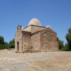
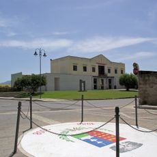
Pani Loriga, Archaeological site in Santadi, Italy.

Description

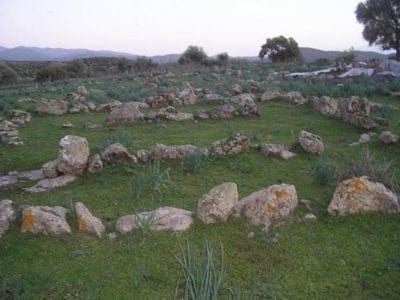
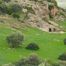
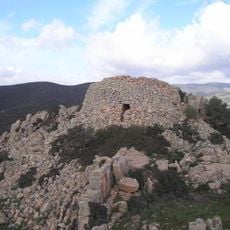
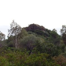
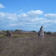
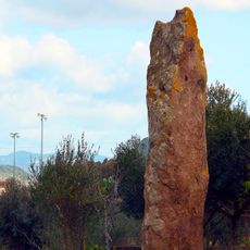
Pani Loriga is an archaeological park on a hilltop containing Phoenician residences, multiple ancient burial grounds, and the remains of Nuraghe Diana in the northern section. The site reveals layers of occupation and use spanning many centuries.

History

The settlement began in the 7th century BCE and grew into a major urban center during the Punic period, declining by the 3rd century BCE. It experienced distinct phases of economic activity before finally losing importance.

Culture

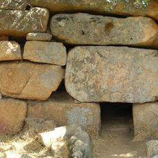
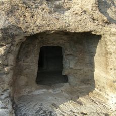
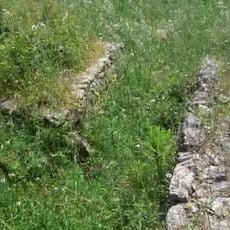
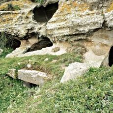
The burial areas reveal different ways people honored their dead across time: early rock-cut tombs, simple pit graves dug by Phoenicians, and later chambers carved deep into stone by Punic communities.

Practical

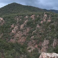
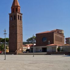
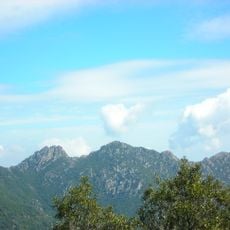
Plan to visit with a guide or use the available audio guide, since there are few information signs throughout the site. Early morning visits work best to avoid heat and get better views across the terrain.

Did you know?

The site stands out because no later Roman settlement covers the Phoenician and Punic layers, preserving the original cultural layers intact. This absence of later occupation makes it unusually valuable for understanding how ancient Mediterranean communities lived without modern disturbance.

Location
Accessibility
Wheelchair accessible
Address
Località Pani Loriga, Santadi
GPS coordinates
39.08889,8.69111
Latest update
December 14, 2025 18:45

AroundUs brings together thousands of curated places, local tips, and hidden gems, enriched daily by 60,000 contributors worldwide. Discover all places nearby (Santadi).

« Pani Loriga - Archaeological site in Santadi, Italy » is provided by Around Us (aroundus.com). Images and texts are derived from Wikimedia project under a Creative Commons license. You are allowed to copy, distribute, and modify copies of this page, under the conditions set by the license, as long as this note is clearly visible.

Discover hidden gems everywhere you go!

From secret cafés to breathtaking viewpoints, skip the crowded tourist spots and find places that match your style. Our app makes it easy with voice search, smart filtering, route optimization, and insider tips from travelers worldwide. Download now for the complete mobile experience.

Around Us App Screenshot

A unique approach to discovering new places

Le Figaro

All the places worth exploring

France Info

A tailor-made excursion in just a few clicks

20 Minutes

Around Us
Travel Guide & Maps
Download

Send to your phone

QR Code
1

Open the camera app on your mobile.

2

Point at the QR code with your camera. A notification will appear.

3

Tap the notification to open the link.