Gazzirola, Mountain summit in Ticino, Switzerland and Italy.
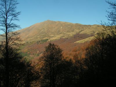
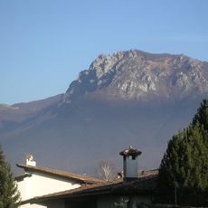
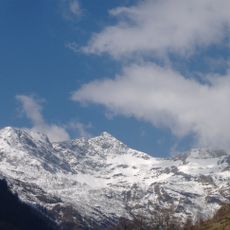
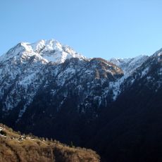
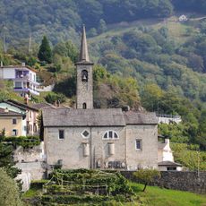
Gazzirola is a mountain summit around 2100 meters high located along the Swiss-Italian border within the Lugano Prealps. The peak sits surrounded by meadows and rock formations, with multiple trail systems connecting to nearby valleys and mountain refuges below.
The peak served as a natural boundary marker between Switzerland and Italy for centuries, shaping how the region was mapped and governed. Trade routes and settlement patterns developed around this geographic division over time.
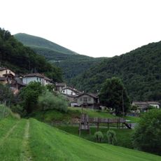
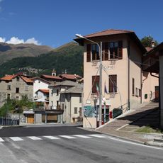
The mountain links Italian-speaking communities across the Swiss-Italian border, where hiking traditions blend local customs from both regions. Visitors walk through landscapes shaped by generations of mountain use, where border villages maintain distinct but related ways of life.
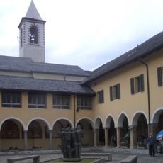
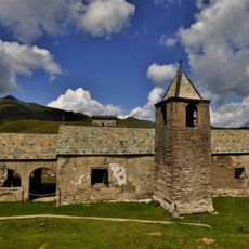
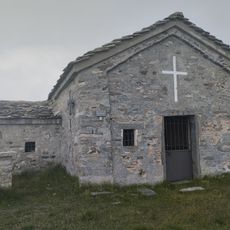
Several mountain refuges near the summit provide shelter and supplies for hikers: Capanna San Lucio, Rifugio San Lucio, and Rifugio Garzirola are positioned along the main routes. Bring sturdy boots and expect steep terrain with exposed sections, especially on the approach from either country.
The summit connects multiple trail networks that flow into both countries, allowing hikers to cross borders within a single day trip. Few Alpine peaks offer such straightforward access to two nations simultaneously from the same high point.
The community of curious travelers
AroundUs brings together thousands of curated places, local tips, and hidden gems, enriched daily by 60,000 contributors worldwide.