Colfiorito park, Regional park in Foligno, Italy
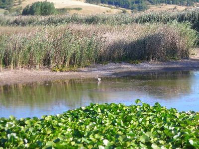
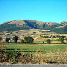
Colfiorito Park is a protected area in the Umbrian hills covering roughly 338 hectares with wetlands, grasslands, and woodlands at about 800 meters elevation. The landscape contains dense aquatic vegetation and supports a range of different ecological zones throughout the park.
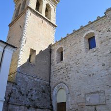
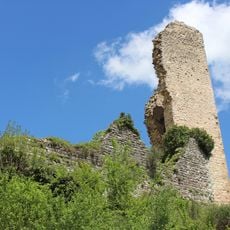
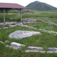
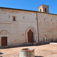
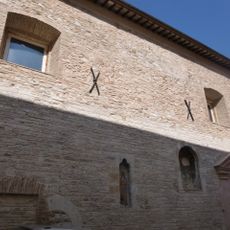
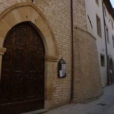
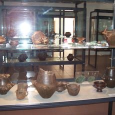
Early Umbrian communities left archaeological traces in the area, including fortified structures on Monte Orve with limestone walls. Roman authorities later designated the location as a municipium around the year 178 BCE, reflecting its importance as a settlement.
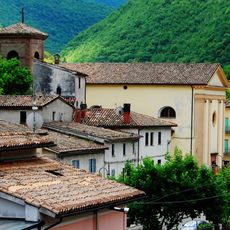
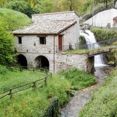
Farming families have shaped this region for generations, growing crops and making regional cheeses that reflect their connection to the land. These traditions are visible in the fields and villages that define the area's character.
Wooden boardwalks guide visitors through the wetland areas while marked trails provide access for walking and observing birds in their natural habitats. Parking areas and informational signs throughout the park help you navigate and understand the different zones you encounter.
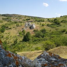
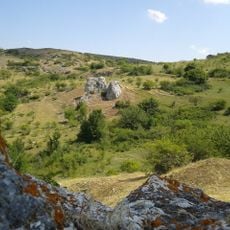
The Molinaccio pit is a natural hollow where water soaks into the ground in a peculiar way, creating rings of vegetation that grow in concentric patterns. This unusual feature attracts migratory birds that find shelter and food among the layered vegetation.
The community of curious travelers
AroundUs brings together thousands of curated places, local tips, and hidden gems, enriched daily by 60,000 contributors worldwide.