Historical cartotheque of the Marche, Historical map collection in Serra San Quirico, Italy
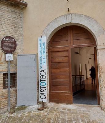
The Historical Cartotheque of the Marche is a specialized museum in Serra San Quirico housing maps, atlases, and geographical documents spanning many centuries. The holdings document how the region's territory, borders, and landscape transformed over time.
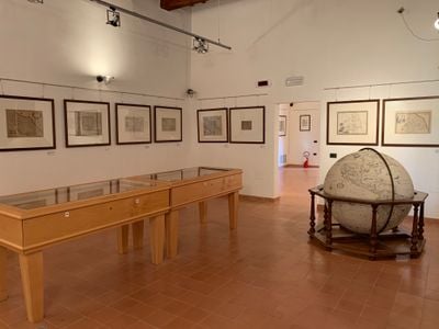
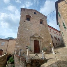
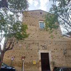
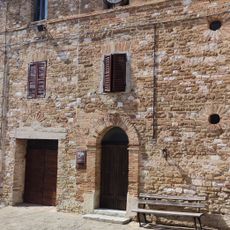
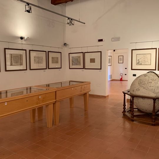
The maps on display were engraved and printed from the 16th century onward, and the collection traces the Marche's administrative and geographic evolution: from the old Duchy of Urbino to early maps of the Papal State and of the newly unified Italian state. A reproduction of a terrestrial globe by the Venetian cartographer Vincenzo Coronelli (1650–1718) is also on view. The museum occupies the cloister of the Santa Lucia complex in Serra San Quirico.
The collection reveals how people imagined and depicted this region across different eras. You can see how borders, settlements, and roads shifted on the maps displayed here.
The museum is located at via Marcellini 72 in Serra San Quirico and is easily accessible on foot once you reach the town center. Contacting them beforehand by phone will help you confirm opening hours and any visiting requirements.
The collection reveals the evolution of map-making itself, not just historical borders. You can observe how techniques shifted from hand-drawn cartography to modern surveying methods across different periods.
The community of curious travelers
AroundUs brings together thousands of curated places, local tips, and hidden gems, enriched daily by 94,050 contributors worldwide.