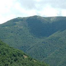
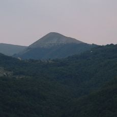
Cima del Redentore, Mountain summit in province of Perugia, Italy.
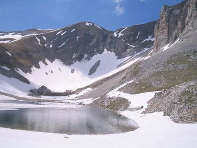
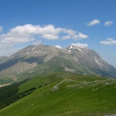
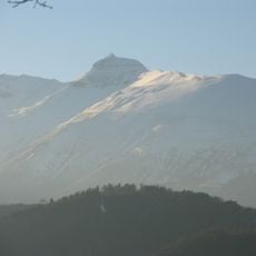
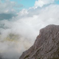
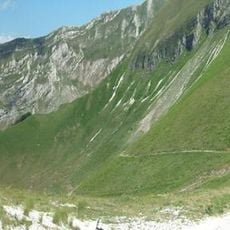
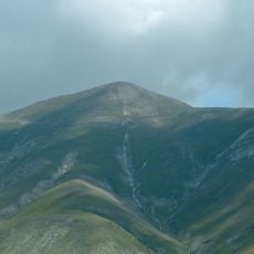
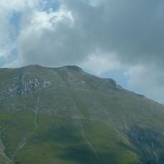
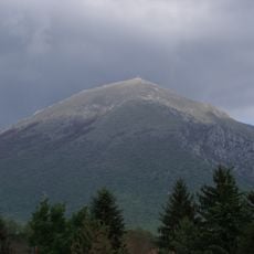
Cima del Redentore is a mountain summit in the Sibillini Mountains, in the province of Perugia, reaching about 2,448 meters (8,031 ft). It has steep rocky flanks and an exposed ridge that connects it to the nearby peaks of Vettore and Sibilla.
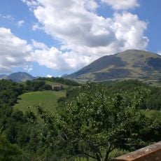
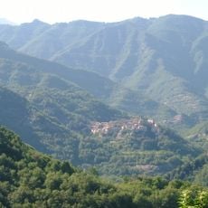
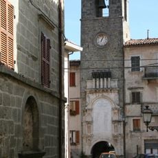
The summit has long marked the boundary between Marche and Umbria, shaping how central Italy was divided into territories over the centuries. The settlements on either side of the ridge developed along different paths as a result of this natural divide.
The peak sits on the border between Marche and Umbria, giving it a special place in both regions. Hikers from either side recognize it as a familiar reference point in the high mountains.
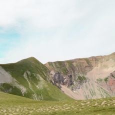
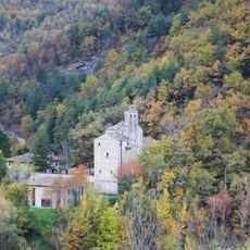
Several hiking trails lead to the summit, and the most direct one starts near Lago di Pilato in the valley below. Conditions on the exposed ridge can change fast, so proper gear is worth bringing regardless of the season.
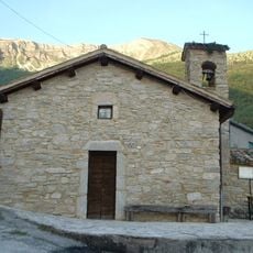
The name Redentore means Redeemer in Italian, pointing to a tradition of dedicating mountain tops to religious figures in this part of the Apennines. This sets the peak apart from most others in the Sibillini, which tend to carry geographic or mythological names.
The community of curious travelers
AroundUs brings together thousands of curated places, local tips, and hidden gems, enriched daily by 60,000 contributors worldwide.