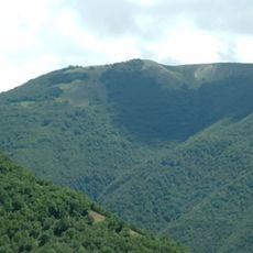
Cima del Lago, Mountain summit in Apennines, Italy
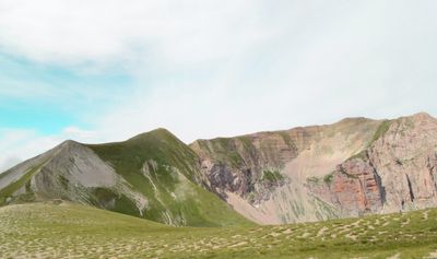
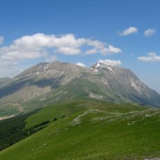
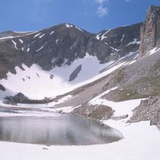
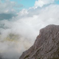
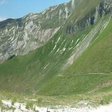
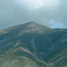
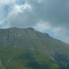
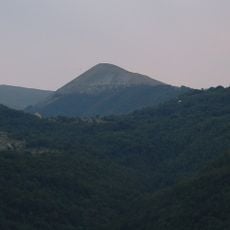
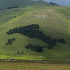
Cima del Lago is a mountain peak in the Apennines reaching 2,423 meters (7,949 feet), featuring steep grey, yellow, and red rock walls that rise dramatically from surrounding alpine meadows. The summit offers views across a network of valleys and connecting ridges that link to nearby peaks through established mountain passes.
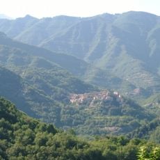
The peak was developed through traditional mountain paths crossing the Forcella del Lago pass, which historically connected this area to neighboring valleys for shepherds and traders. These routes formed part of a broader network of passages that allowed movement across the Apennines during centuries of mountain use.
The name comes from the mountain lakes nearby, which have long guided shepherds and travelers across these heights. Visitors today can still see traditional trail markers and stone cairns that reflect how people have moved through this landscape for centuries.
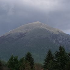
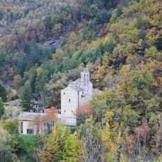
Approach routes begin from Armentarola via dirt roads leading toward Capanna Alpina, with Rifugio Scotoni at 1,985 meters (6,512 feet) serving as a useful waypoint for resting and resupplying. Early starts are advisable given the elevation and exposure, and weather conditions can change quickly in the afternoon.
The southeast face features climbing routes ranging from grade I to V difficulty, meaning both walkers and experienced climbers find different options on the same rock formations. This range of challenges within a single location makes exploration varied depending on your skill level and interest.
The community of curious travelers
AroundUs brings together thousands of curated places, local tips, and hidden gems, enriched daily by 60,000 contributors worldwide.