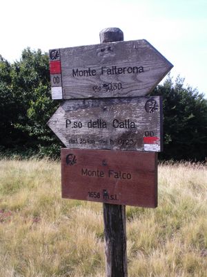
Monte Falco, Mountain summit in Tuscany, Italy
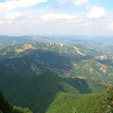
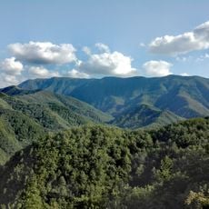
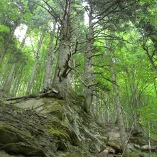
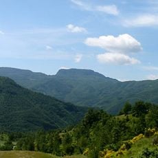
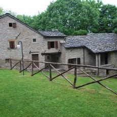
Monte Falco is a mountain summit in Tuscany, rising to 5,439 feet (1,658 meters) in the Apennines, with steep slopes covered in natural forest. The peak sits within the Foreste Casentinesi National Park, where different vegetation zones follow one another from the valley floor up to the top.
In medieval times the mountain marked the boundary between the provinces of Florence and Arezzo, making it a key reference point for how the surrounding territory was divided. That role as a border landmark shaped the way people navigated and administered the area for centuries.
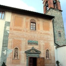
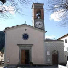
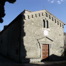
The summit lies along the old pilgrimage route Il Cammino di Sant'Antonio, a path that walkers still follow today through the mountain landscape. The route links several places across the region and gives the ascent a meaning that goes beyond ordinary hiking.
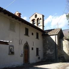
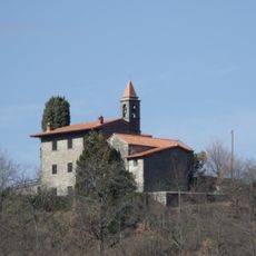
The ascent follows the T2 hiking trail and calls for good fitness and sturdy footwear, especially on the steeper sections. A mountain hut to the east of the summit offers a place to rest and get refreshments along the way.
Monte Falco is the highest point in the Monte Falco-Poggio Piancancelli area, yet it is often overshadowed by the neighboring Poggio Piancancelli, which stands out more clearly from the main trail. The two tops are so close together that many walkers cross from one to the other without noticing.
The community of curious travelers
AroundUs brings together thousands of curated places, local tips, and hidden gems, enriched daily by 60,000 contributors worldwide.