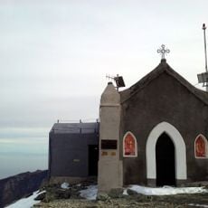
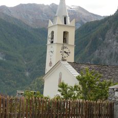
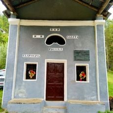
Monte Rocciavrè, Alpine summit in Metropolitan City of Turin, Italy.
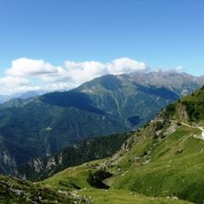
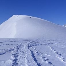
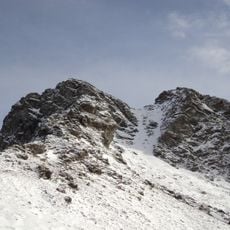
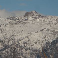
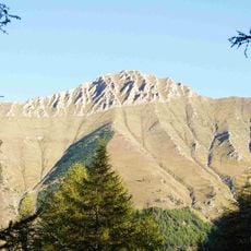
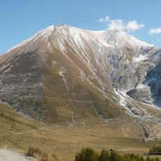
Monte Rocciavrè is a 2,778 m summit in the Cottian Alps, on the watershed between the Val Susa and the Val Chisone, east of Monte Orsiera and inside the Orsiera-Rocciavrè Natural Park. Its south side is separated from Monte Robinet by the Colletto Robinet (2,635 m).
The mountain sits within the Orsiera Rocciavrè Natural Park, established in 1980 to protect a large Alpine valley region. This designation enabled the preservation of the mountain landscape and its natural features over time.
The summit is reached by the Cresta Nord-Ovest climbing route, rated PD- and starting from Selleiraut at 1,525 m, with 1,300 m of ascent to the 2,778 m top on the north-west side. Hikers instead follow the GTA trail 341 from Gran Faetto in the Chisone valley up to Colletto Robinet at 2,635 m, then the south-east ridge to the summit.
The peak can be reached via multiple hiking routes that depart from different mountain shelters and offer varying levels of difficulty. Visitors should come prepared with proper gear and allow adequate time to complete the ascent safely.
Monte Rocciavrè has a single summit at 2,778 m; the neighbouring Monte Robinet, separated by the Colletto Robinet (2,635 m), is a distinct peak. The mountain's north-west ridge, climbed from Selleiraut at 1,525 m, gains 1,300 m to the top and is rated PD-.
The community of curious travelers
AroundUs brings together thousands of curated places, local tips, and hidden gems, enriched daily by 92,842 contributors worldwide.