Monte Rondinaio, Mountain summit in the Tuscan-Emilian Apennines, Italy
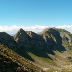
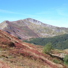
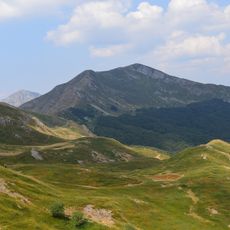
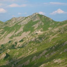
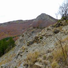
Monte Rondinaio is a 1964-metre summit on the Tusco-Emilian Apennine ridge, forming the border between the provinces of Modena and Lucca. It lies within the Parco del Frignano and drops steeply above Lago Baccio, Lago Turchino and Lago Torbido. The Apennine ridge trail 00 crosses the peak, which is separated from Monte Giovo by the Passetto Nord and from Alpe Tre Potenze by the Passo del Giovo.
Monte Rondinaio lies on the Appennine ridge path 00, the same trail that crosses Monte Giovo and Alpe Tre Potenze, and marks the border between the provinces of Modena and Lucca. To its north the Passetto Nord separates it from the Monte Giovo massif, reachable only by a demanding trail; to its south the Passo del Giovo, or Foce a Giovo, at almost 1700 m, is the highest Tusco-Emilian Apennine pass open to an unpaved drivable road.
The peak marks the border between the provinces of Modena and Lucca, and the ridge path 00 crosses it as it does Monte Giovo and Alpe Tre Potenze. From the summit, hikers look toward the Garfagnana and the Apuane Alps on one side and the Tagliole valley with its hamlets Ca' di Gallo, Ronchi and Rotari on the other.
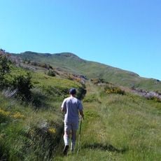
The climb requires mountain hiking experience and good weather to safely navigate the challenging trail. Visitors should check conditions before departing and bring appropriate gear for exposed ridge walking.
The mountain drops steeply over Lago Baccio, Lago Turchino and Lago Torbido, and its crest continues toward Emilia as a spur called Rondinaio Lombardo above Lago Turchino. From the summit the Tyrrhenian Sea can be seen in the distance, beyond the Garfagnana and the Apuane Alps.
The community of curious travelers
AroundUs brings together thousands of curated places, local tips, and hidden gems, enriched daily by 94,505 contributors worldwide.