Monte Tambura, Mountain summit in Alpi Apuane, Tuscany, Italy
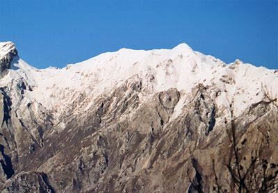
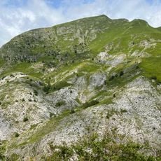
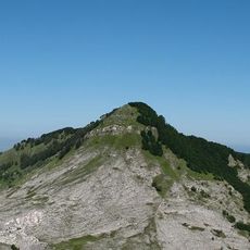
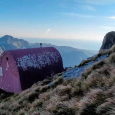
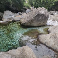
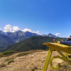
Monte Tambura is a mountain summit in the Alpi Apuane in Tuscany, standing at about 6,220 feet (1,895 meters) and ranking as the second highest point in the range. Three separate ridges extend from the top, running roughly south, northwest, and northeast across the Apuan Alps Regional Natural Park.
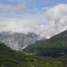
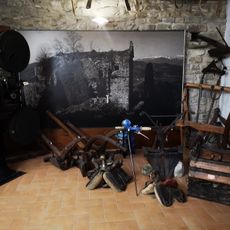
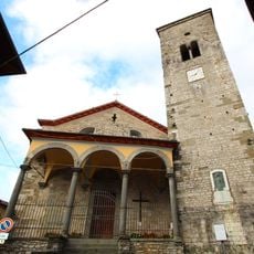
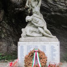
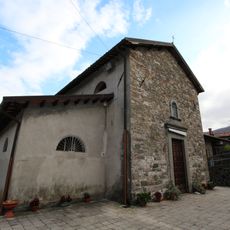
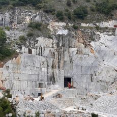
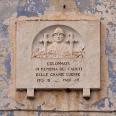
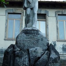
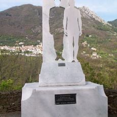
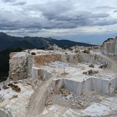
The Alpi Apuane have been a source of marble since ancient times, and the area around this summit has been shaped by centuries of quarrying activity. During World War II, the ridge connecting this peak to Monte Sella became a German artillery position and a contested front between occupying forces and Italian resistance fighters.
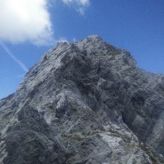
The name Tambura comes from the Italian word for drum, likely referring to the shape of the summit as seen from below. Marble quarrying still leaves its mark on the surrounding slopes, and the contrast between the white stone and the bare rock ridges is easy to notice on the way up.
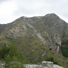
The south ridge offers the most accessible route to the top, passing over two smaller summits along the way. The terrain becomes steep and rocky near the peak, so walkers should have mountain experience and carry proper gear before setting out.
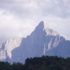
Although Monte Tambura is the second highest peak in the range, its three-pronged shape makes it easier to identify from a distance than the highest summit. Many walkers use its outline as a natural reference point when navigating across the broader landscape.
The community of curious travelers
AroundUs brings together thousands of curated places, local tips, and hidden gems, enriched daily by 60,000 contributors worldwide.