Pizzo d'Uccello, Limestone summit in Northern Apuanian Alps, Tuscany, Italy
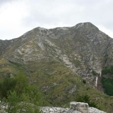
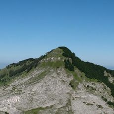
Pizzo d'Uccello is a 1,781 m mountain of the Apuan Alps on the border between the provinces of Lucca and Massa-Carrara, between the upper Serchio valley (Garfagnana) and the Magra valley (Lunigiana). Its north face drops almost 800 m of elevation gain, a wall compared to the great faces of the Dolomites and the western Alps. It is reached from the locality of Orto di Donna, surrounded by Monte Pisanino, Monte Cavallo, Monte Contrario and Monte Grondilice.
The first route on the north face, the Via dei Genovesi, was opened in 1922 by E. Piantanida and E. Stagno, climbing 700 m at grade IV+. In 1940 N. Oppio and S. Colnaghi traced the Oppio-Colnaghi route straight up the wall to the summit, now the most repeated classic of the Apuane; its first winter ascent came in 1962.
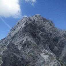
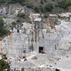
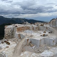
The mountain's name, Pizzo d'Uccello, means 'Bird Peak', a reference to its pointed profile. Its north face, almost 800 metres high, is compared to the great walls of the Dolomites and the western Alps. The marble quarries on the mountain were the target of a hard-fought campaign by the No Cav movement.
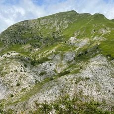
Access to the summit starts from Orto di Donna, a valley surrounded by Monte Pisanino, Monte Cavallo, Monte Contrario and Monte Grondilice. The normal route climbs from Foce a Giovo on a faint trail through gravel channels and marble slabs, rated EE, with a short knife-edge ridge before the top. The Nattapiana ridge descends toward Equi Terme for more than 2 km with rock passages up to grade III.
The north face rises almost 800 metres from its base, a height that puts it on a par with the great walls of the Dolomites and the western Alps. The Oppio-Colnaghi route of 1940 climbs 850 metres straight up the vertical of the summit, and its first winter ascent came in 1962.
The community of curious travelers
AroundUs brings together thousands of curated places, local tips, and hidden gems, enriched daily by 92,786 contributors worldwide.