Punta Lunella, Mountain summit in Piedmont, Italy
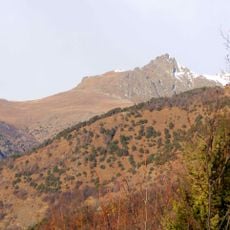
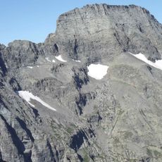
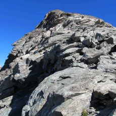
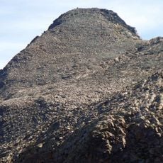
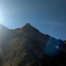
Punta Lunella is a mountain summit in the Graian Alps standing at about 2,770 meters elevation. The ridge of this peak marks the boundary between Val Susa and Val di Viù.
The peak was originally named Punta Cruvin in 1831, a name referring to nearby mountain pastures. The current name was later adopted for national maps.
The peak's name comes from the mountain pastures that once sustained local herding activities. Today this historical name appears on regional maps, keeping that pastoral tradition in memory.
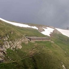
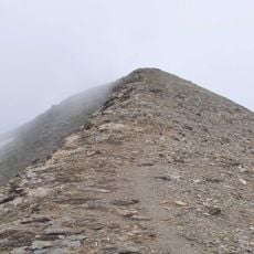
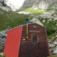
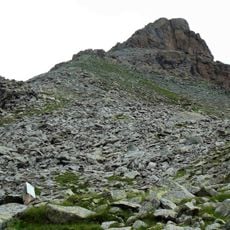
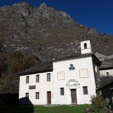
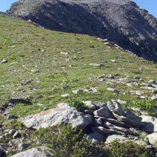
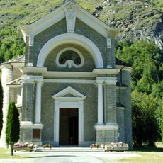
The normal route starts from Condove: about 15 km of asphalt road lead to the Prarotto chapel, dedicated to the Madonna della Neve at 1,437 m. On foot the trail passes Rocca Patanua, "Roccia Nuda" in Piedmontese, at 2,409 m, then follows a grassy crest with easy rock steps to the top. The Condove route is rated EE; the Usseglio route is a facile F climb. On summer days fog often covers the summit from late morning, since Turin lies only 40 km away.
The first recorded ascent was made by Martino Baretti and Giuseppe Cibrario, who climbed the harder North-East ridge above the Pian Benot ski slopes. On summer days the summit is often wrapped in fog from late morning, since the peak lies only 40 km from Turin.
The community of curious travelers
AroundUs brings together thousands of curated places, local tips, and hidden gems, enriched daily by 92,881 contributors worldwide.