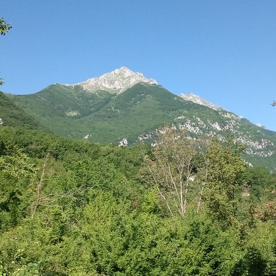
Pizzo Deta, Mountain summit in Abruzzo and Lazio, Italy
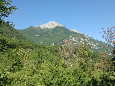
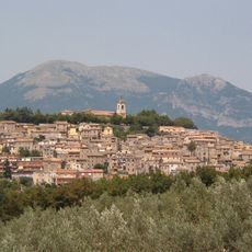
Pizzo Deta is a 2,041 m mountain in the Ernici range, on the watershed between Abruzzo and Lazio. Its sharp, rocky profile is vaguely pyramidal on three sides; only the southern slope is uniform and steep, descending to Prato di Campoli at 1,100 m. The northern side drops toward the Roveto valley, with an ancient glacial cirque just below the summit.
Pizzo Deta belongs to the Ernici range, not the Simbruini, and at 2,041 m it is the second-highest summit of that group, after Monte del Passeggio (2,063 m). The mountain lies on the main watershed line that separates Abruzzo from Lazio, and Italian military cartography (IGM sheet 152 III N.O. Balsorano) records it on that boundary.
Pizzo Deta marks the watershed line between Abruzzo and Lazio, and the summit itself is the border point. The mountain belongs to the Ernici chain, whose highest peak is Monte del Passeggio at 2,063 m, connected to Pizzo Deta by a ridge to the northwest. Below the north face, the Vallone di Peschiomacello begins in an old glacial cirque above San Vincenzo Valle Roveto.
The most common starting point is Prato di Campoli, from which the route includes steep sections on loose rock where solid footwear is necessary. Weather at this elevation can shift quickly, so an early start and extra warm layers are worth carrying.
Pizzo Deta is the second-highest summit of the Ernici mountains, reaching 2,041 m and marking the border between Abruzzo and Lazio on the main watershed. Its northern side drops steeply toward the Roveto valley, and just below the top an old glacial cirque begins the Peschiomacello gully above San Vincenzo Valle Roveto.
The community of curious travelers
AroundUs brings together thousands of curated places, local tips, and hidden gems, enriched daily by 93,797 contributors worldwide.