
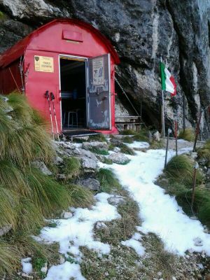
Bivacco Franco Costantini, building in "Resia, Friuli", Italy
Location: Resia
Inception: 1981
Elevation above the sea: 1,690 m
GPS coordinates: 46.33426,13.44346
Latest update: March 3, 2025 20:47
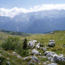
Canin
2.9 km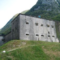
Kluže
11.6 km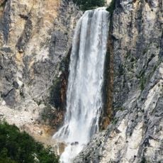
Boka
3.2 km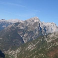
Monte Rombon
9.3 km
Parco naturale delle Prealpi Giulie
9.7 km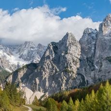
Italian Julian Alps
1.8 km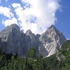
Jôf Fuart
11.2 km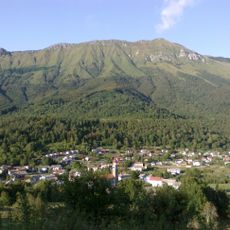
Stol (Julian Alps)
6.3 km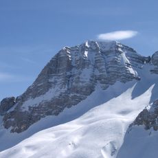
Prestreljenik
3.8 km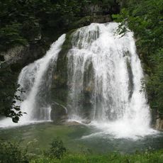
Virje Falls
5.4 km
Santa Maria Assunta
11.4 km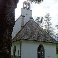
Assumption of Mary Church
8.8 km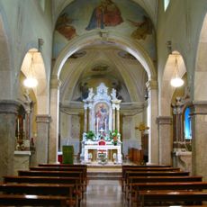
San Carlo Borromeo
7.6 km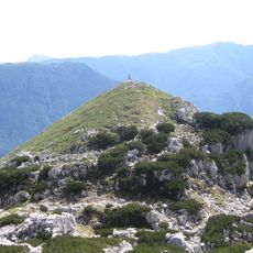
Čukla
8.4 km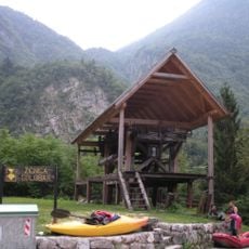
Žičnica Golobar
11.3 km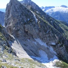
Cima di Terrarossa
10.3 km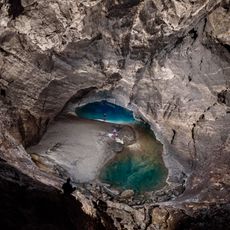
Renetovo brezno
2.3 km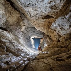
Skalarjevo brezno
3.1 km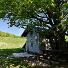
Hlek
9.3 km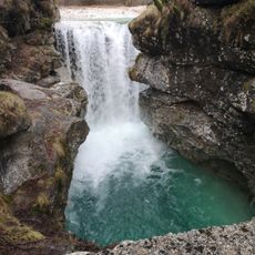
Cascata rio Repepeit
10.3 km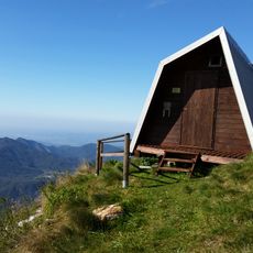
Bivak pod Muzcem
5.7 km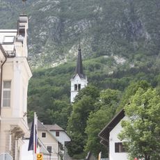
St. Ulrich's Parish Church
8.3 km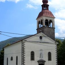
Sts. Primus and Felician Church
11.2 km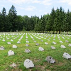
Bovec Military Cemetery
10 km
Slap Boka
3.2 km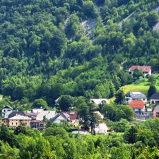
St. Mary of Help Church
4.4 km
Cerkev sv. Florijana, Srpenica
6.4 km
St. Anthony the Great Church
8.1 kmVisited this place? Tap the stars to rate it and share your experience / photos with the community! Try now! You can cancel it anytime.
Discover hidden gems everywhere you go!
From secret cafés to breathtaking viewpoints, skip the crowded tourist spots and find places that match your style. Our app makes it easy with voice search, smart filtering, route optimization, and insider tips from travelers worldwide. Download now for the complete mobile experience.

A unique approach to discovering new places❞
— Le Figaro
All the places worth exploring❞
— France Info
A tailor-made excursion in just a few clicks❞
— 20 Minutes