Resia, Italian comune
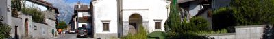
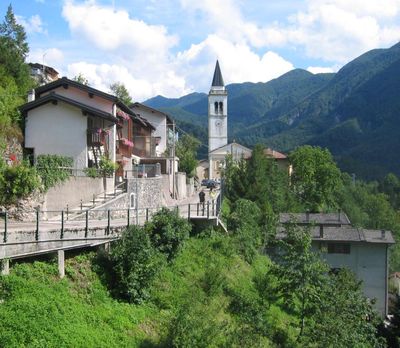
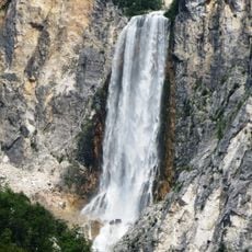
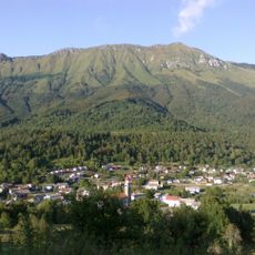
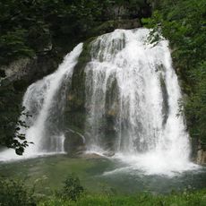
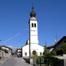
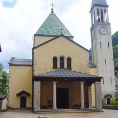
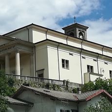
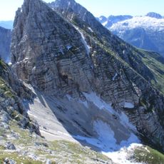
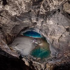
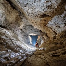
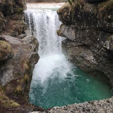
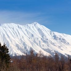
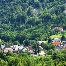
Resia is a small commune in northeastern Italy's Friuli Venezia Giulia region, situated in a narrow Alpine valley surrounded by steep mountains that shape its entire character. Traditional stone and wood houses line quiet streets, while nearby lakes and green pastures define the landscape around this isolated settlement.
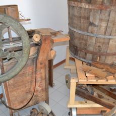
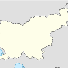
Resia has been inhabited for centuries by farmers and craftspeople who adapted to mountain life while preserving their traditions despite changing rulers and borders. The valley's connection through Alpine passes made it a crossroads that absorbed cultural influences from Italy, Slovenia, and Austria over time.
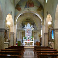
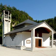
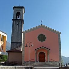
Resia has its own dialect with ancient Slavic roots that sets it apart from standard Italian, reflecting centuries of cultural mixing with neighboring Alpine regions. Local festivals, especially the Assumption of Mary celebration in August, bring residents together for processions, traditional music, and dances that have been passed down through generations.
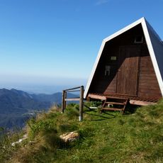
Resia is accessible by car or bus from nearby towns, with roads winding through mountain scenery and offering scenic views along the way. Exploring on foot once there is the best approach, as the compact layout makes it easy to walk around and experience the entire settlement.
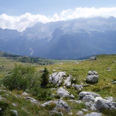
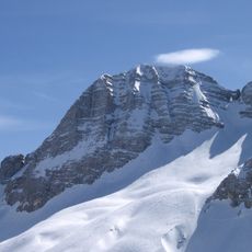
Resia's isolation is defined by the narrow Carnizza Pass, a mountain crossing that has connected the valley to the outside world for centuries while keeping it hidden from easy access. This geographic feature shaped both the independence of local culture and the flow of trade with neighboring regions.
The community of curious travelers
AroundUs brings together thousands of curated places, local tips, and hidden gems, enriched daily by 60,000 contributors worldwide.