Monte Roccerè, Mountain summit in Piedmont, Italy
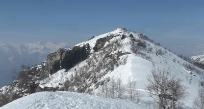
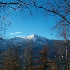
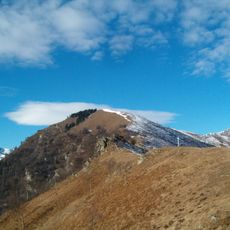
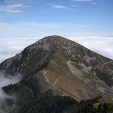
Monte Roccerè is a 1829 meter alpine summit in the Cottian range, with extensive views across the Cuneo plain and neighboring peaks. The slopes feature a mix of forests, grassland, and rocky outcrops that create the typical landscape of this mountain zone.
Bronze Age rock engravings on the summit were created by ancient hunters, providing evidence of human presence in this Alpine region thousands of years ago. These marks show that people have crossed and inhabited these mountains since prehistoric times.
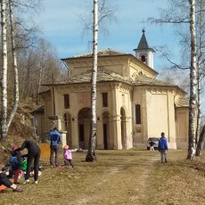
The trails connecting this summit link communities of the Valle Maira, where Occitan traditions remain visible in local language and customs. Visitors encounter places where inhabitants continue to preserve their heritage through daily life rather than as a museum display.
A circular route starts from the Sant'Anna parking area and follows marked trails to the summit, covering roughly 12 kilometers with 670 meters of elevation gain. The path is well-signed in both directions, making navigation straightforward even without a GPS device.
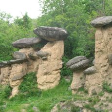
The Grotta di Balmascura, a cave system on the eastern ridge, reveals the geological character of this mountain with underground chambers and stone formations. This hidden cave often goes unnoticed by visitors despite being accessible and geologically interesting.
The community of curious travelers
AroundUs brings together thousands of curated places, local tips, and hidden gems, enriched daily by 60,000 contributors worldwide.