
Acero di monte
Location: Tarvisio
Elevation above the sea: 868 m
Height: 29.5 m
Address: Prati Oman
GPS coordinates: 46.49249,13.68677
Latest update: May 23, 2025 08:48
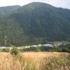
Wurzen Pass
6 km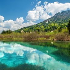
Zelenci
3.9 km
Mangart
6.4 km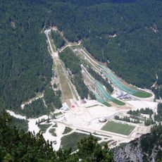
Planica Nordic Center
3.2 km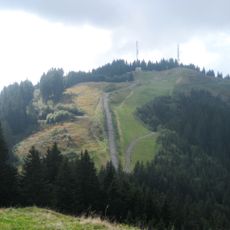
Peč
4 km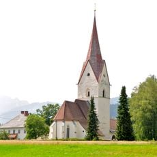
Pfarrkirche Thörl-Maglern
5.9 km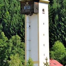
Schrotturm Arnoldstein
6.2 km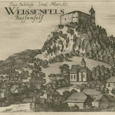
Weissenfels Castle
3.4 km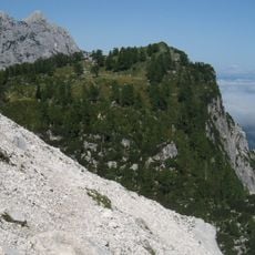
Slemenova špica
6 km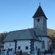
St. Thomas's Church, Rateče
2.2 km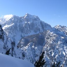
Visoka Ponca
3.7 km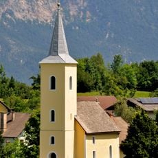
Evangelische Pfarrkirche Arnoldstein
5.9 km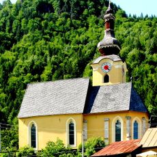
Chiesa di San Leonardo
2.9 km
Evangelische Auferstehungskirche in Arnoldstein
6.5 km
Monte Termine (Julian Alps)
6.1 km
Kotova špica
6.4 km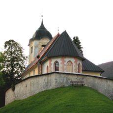
Holy Spirit Church
2.5 km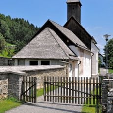
Filialkirche Seltschach
5.5 km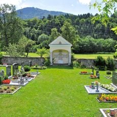
Evangelischer Friedhof mit Kapelle
6.1 km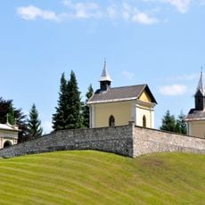
Friedhof mit drei Kapellen
6.4 km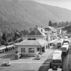
Austria Italy border crossing #2442
6 km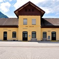
Station building Thörl-Maglern
6.1 km
Conca di Fusine
3.4 km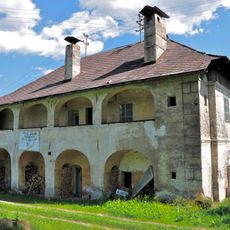
Ehem. Gewerkenhaus Wrolch
6.4 km
Zolldienst- und Wohngebäude
6.3 km
Alte Poststraße
6.1 km
Ehem. Forsthaus
5.9 km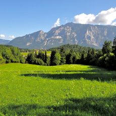
Spätantike Höhensiedlung Hoischhügel
5.5 kmReviews
Visited this place? Tap the stars to rate it and share your experience / photos with the community! Try now! You can cancel it anytime.
Discover hidden gems everywhere you go!
From secret cafés to breathtaking viewpoints, skip the crowded tourist spots and find places that match your style. Our app makes it easy with voice search, smart filtering, route optimization, and insider tips from travelers worldwide. Download now for the complete mobile experience.

A unique approach to discovering new places❞
— Le Figaro
All the places worth exploring❞
— France Info
A tailor-made excursion in just a few clicks❞
— 20 Minutes