
Abete bianco
Location: Tarvisio
Elevation above the sea: 1,270 m
Height: 35 m
Address: Cave del Predil
GPS coordinates: 46.43764,13.58550
Latest update: April 21, 2025 21:26
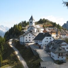
Monte Santo di Lussari
6.7 km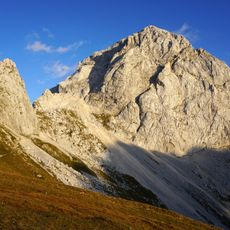
Mangart
5.3 km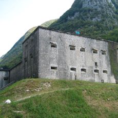
Kluže
8.5 km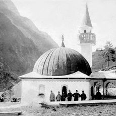
Log pod Mangartom Mosque
3.8 km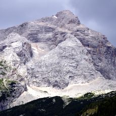
Jalovec
7.5 km
Monte Rombon
8.2 km
Sella di Camporosso
8.8 km
Santi Pietro e Paolo apostoli
7.5 km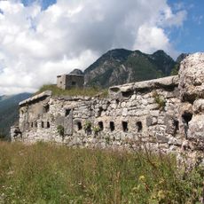
Fort Predel
1.9 km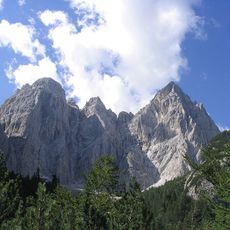
Jôf Fuart
7.3 km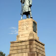
Monument to the Austrian grenadier
8 km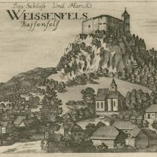
Weissenfels Castle
8.5 km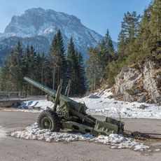
Jerebica
4.7 km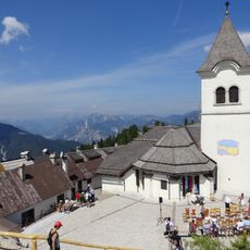
Mother of God Church
6.8 km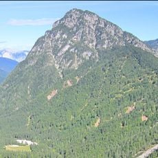
Monte Re
3 km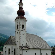
Sant'Egidio
9.1 km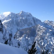
Visoka Ponca
8.9 km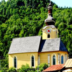
Chiesa di San Leonardo
8.2 km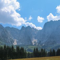
Monte Termine (Julian Alps)
7.6 km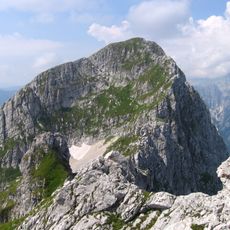
Briceljk
5.9 km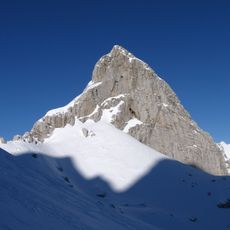
Kotova špica
7.5 km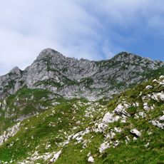
Morež
6.1 km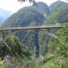
Viadukt v Mlinču
1.8 km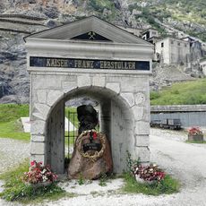
Musei Tarvisio
1.2 km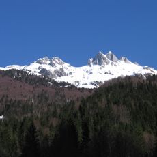
Male Špice
4 km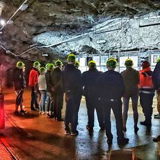
Parco Internazionale Geominerario Miniera di Cave del Predil - con prenotazione
1.3 km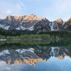
Conca di Fusine
6.6 km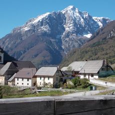
St. Stephen's Parish Church
3.7 kmReviews
Visited this place? Tap the stars to rate it and share your experience / photos with the community! Try now! You can cancel it anytime.
Discover hidden gems everywhere you go!
From secret cafés to breathtaking viewpoints, skip the crowded tourist spots and find places that match your style. Our app makes it easy with voice search, smart filtering, route optimization, and insider tips from travelers worldwide. Download now for the complete mobile experience.

A unique approach to discovering new places❞
— Le Figaro
All the places worth exploring❞
— France Info
A tailor-made excursion in just a few clicks❞
— 20 Minutes