
Sughera
Location: Monte San Biagio
Elevation above the sea: 72 m
Height: 27 m
Address: San Vito - Via Dupante
GPS coordinates: 41.37080,13.32250
Latest update: August 17, 2025 17:44
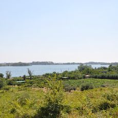
Lago di Fondi
5.3 km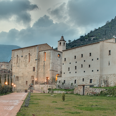
Abbey of San Magno, Fondi
5.2 km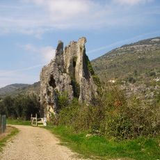
Campo Soriano
6.7 km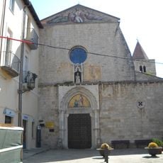
San Pietro
8.9 km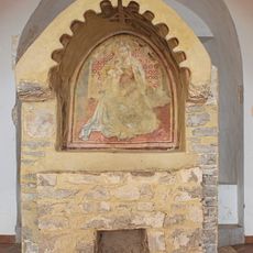
Santuario della Madonna della Rocca
3.8 km
Monte delle Fate
3.8 km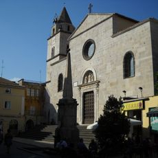
Santa Maria in Piazza
8.8 km
Museum of the Borderlands
8.4 km
Monte Calvo
4.5 km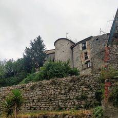
Mura medievali
8.3 km
Spiagga Salto di Fondi
8.6 km
San Pietro
8.3 km
Madonna Santissima della Pietà
8.8 km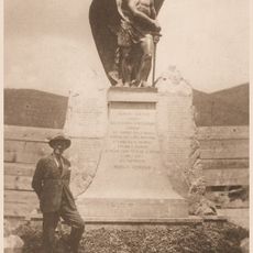
Monumento ai caduti in guerra
8.3 km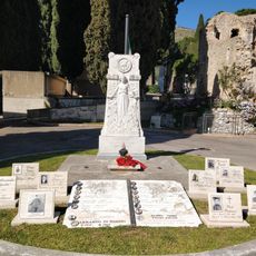
Monumento alle vittime di guerra
8.6 km
San Giovanni Battista
8.4 km
San Francesco
8.1 km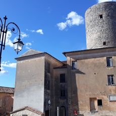
Torre Antonelli
8.3 km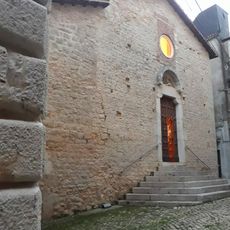
San Michele Arcangelo
8.3 km
Castello
8.3 km
Piazza delle Erbe
8.3 km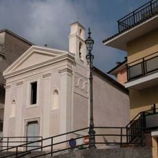
Auditorium comunale
8.2 km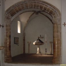
San Sebastiano
8.3 km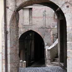
Porta San Pietro
8.3 km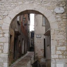
Porta San Giovanni
8.3 km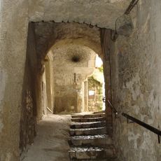
Porta Portella
8.3 km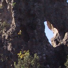
Calanche di San Nicola
5.3 km
Sacra Icona di Maria Santissima delle Grazie
8.3 kmReviews
Visited this place? Tap the stars to rate it and share your experience / photos with the community! Try now! You can cancel it anytime.
Discover hidden gems everywhere you go!
From secret cafés to breathtaking viewpoints, skip the crowded tourist spots and find places that match your style. Our app makes it easy with voice search, smart filtering, route optimization, and insider tips from travelers worldwide. Download now for the complete mobile experience.

A unique approach to discovering new places❞
— Le Figaro
All the places worth exploring❞
— France Info
A tailor-made excursion in just a few clicks❞
— 20 Minutes