
Larice
Location: Rhêmes-Notre-Dame
Elevation above the sea: 1,698 m
Height: 35.5 m
Address: Bosco di protezione di Artalle (particella economica n. 3)
GPS coordinates: 45.59516,7.13465
Latest update: March 15, 2025 22:13

Lake of Beauregard
6.5 km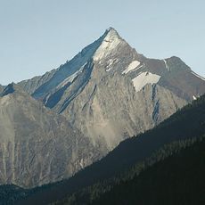
Grivola
9.6 km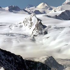
Glacier of Rutor
11.2 km
Lac Pellaud
3.5 km
Mont Tout Blanc
8.2 km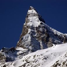
Grande Rousse
5.3 km
Casaforte di Planaval
9.5 km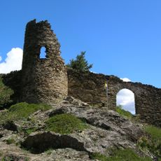
Château de Montmayeur
10.4 km
Cima di Entrelor
7.4 km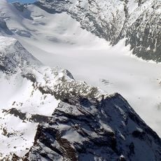
Ghiacciaio del Trajo
10.7 km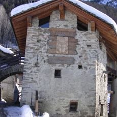
Maison-musée Jean-Paul II
10 km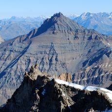
Grand Nomenon
8.1 km
Gran Vaudala
11.2 km
Punta Bianca
9.6 km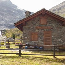
Bivacco Mario Gontier
10 km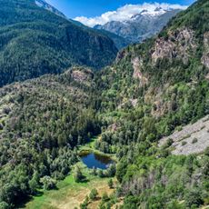
Riserva naturale Lago di Lolair
11.1 km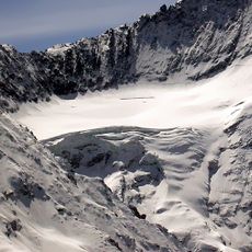
Nomenon Glacier
10.1 km
Cima dell'Aouillé
7.7 km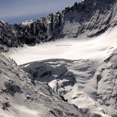
Grivoletta
10.6 km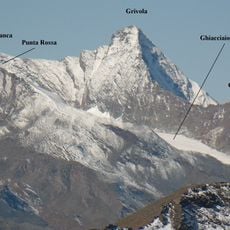
Punta Nera
10.3 km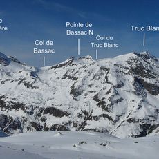
Aiguille de la Grande Traversière
10.1 km
Rhêmes
6.9 km
Punta di Rabuigne
4.7 km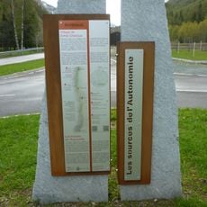
Émile Chanoux Study Centre
5.5 km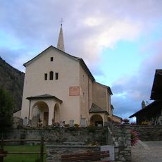
Saint George
7.2 km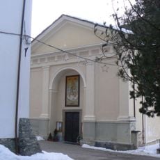
Parish church of Madonna del Carmine
5.8 km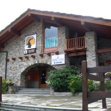
Gran Paradiso National Park Visitors Centre
2.1 km
Croix de la Roley
8.9 kmReviews
Visited this place? Tap the stars to rate it and share your experience / photos with the community! Try now! You can cancel it anytime.
Discover hidden gems everywhere you go!
From secret cafés to breathtaking viewpoints, skip the crowded tourist spots and find places that match your style. Our app makes it easy with voice search, smart filtering, route optimization, and insider tips from travelers worldwide. Download now for the complete mobile experience.

A unique approach to discovering new places❞
— Le Figaro
All the places worth exploring❞
— France Info
A tailor-made excursion in just a few clicks❞
— 20 Minutes