·

Enable Location

We need your location to show you interesting places around you

Discover nearby places

Find interesting locations and hidden gems around you

Precise directions

Get accurate directions and distances to places

Your location is never shared with other users. It's only used when you tap the location button.

Soja

Log in to your account

Start exploring — it's free

Trusted by 62,748 travelers worldwide

Continue with Google
Continue with Apple
or

We will send you a code to connect

By continuing, you accept our Terms and Conditions and our Privacy Policy

Check your inbox

We've sent a pincode in your inbox. Please enter the code below.

Soja, Regional administrative center in Okayama Prefecture, Japan

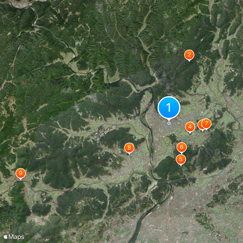
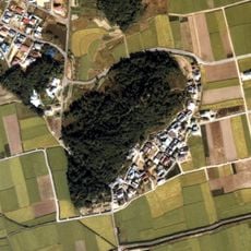
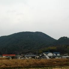
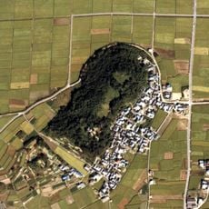
Soja is a city in Okayama Prefecture, located in the western center of Japan's main island. The urban area covers gentle hills, rice paddies and settlements along the Takahashi River, with a mix of low residential buildings and scattered commercial structures.

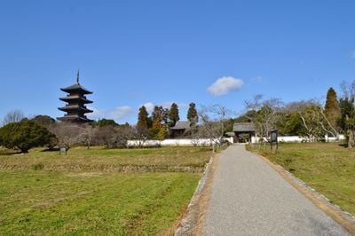
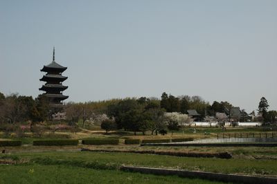
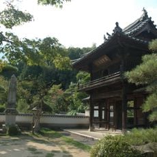
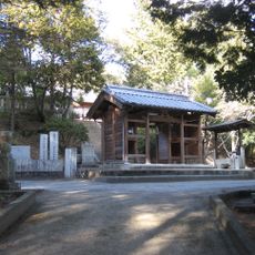
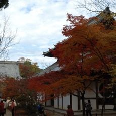
The area served as the administrative seat of Bitchu Province during the Nara period in the 8th century. Kokubun-ji temple, built by the government at that time, still stands on the eastern edge of town.

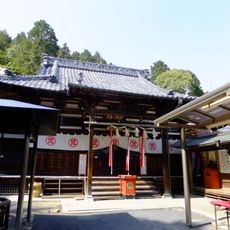
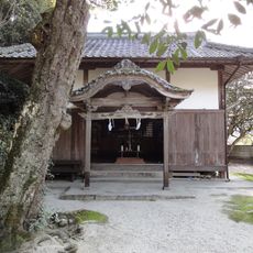
The name comes from a Shinto shrine where deities from across the province were once worshipped together. Today the area feels quiet and shaped by farming, with small shrines and temples appearing along the roads.

Train connections link the area to Okayama in the east and mountain regions to the north, while the expressway allows a quick drive to the coast. Most visitors explore the surroundings best by bicycle or car, since many points of interest sit outside the station area.

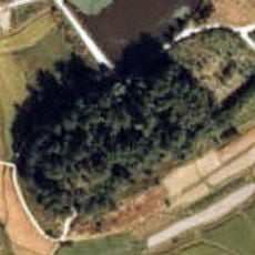
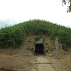
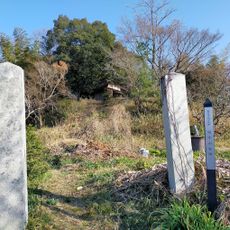
A cycling path connects the center to Okayama City over roughly 11 miles (18 kilometers) through flat countryside. Along the way you pass ancient burial mounds, farms with peach trees and several historical temples that are easily overlooked in daily life.

The community of curious travelers

AroundUs brings together thousands of curated places, local tips, and hidden gems, enriched daily by 60,000 contributors worldwide.

Start exploring
Inception
March 31, 1954
Reference
332089
Shares border with
Okayama, Kurashiki, Ibara, Takahashi, Kibichuo, Yakage
GPS coordinates
34.67278,133.74650
Latest update
December 13, 2025 19:40
« Soja - Regional administrative center in Okayama Prefecture, Japan » is provided by Around Us (aroundus.com). Images and texts are derived from Wikimedia project under a Creative Commons license. You are allowed to copy, distribute, and modify copies of this page, under the conditions set by the license, as long as this note is clearly visible.

Discover hidden gems everywhere you go!

From secret cafés to breathtaking viewpoints, skip the crowded tourist spots and find places that match your style. Our app makes it easy with voice search, smart filtering, route optimization, and insider tips from travelers worldwide. Download now for the complete mobile experience.

Around Us App Screenshot

A unique approach to discovering new places

Le Figaro

All the places worth exploring

France Info

A tailor-made excursion in just a few clicks

20 Minutes

Around Us
Travel Guide & Maps
Download

Send to your phone

QR Code
1

Open the camera app on your mobile.

2

Point at the QR code with your camera. A notification will appear.

3

Tap the notification to open the link.