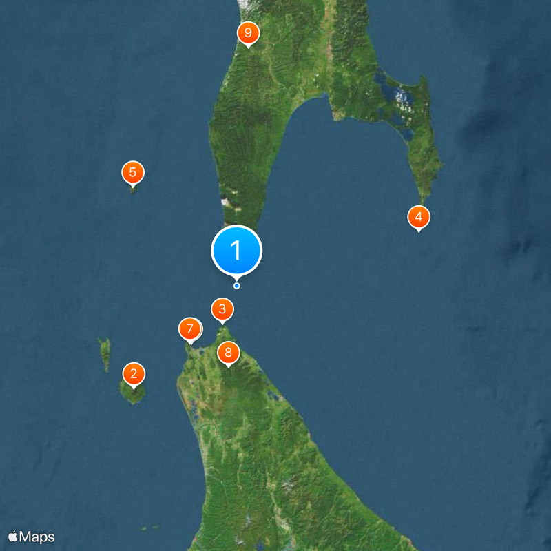
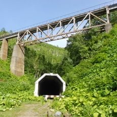
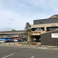
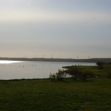
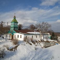
La Pérouse Strait, Maritime strait between Sakhalin and Hokkaido islands, Russia and Japan.
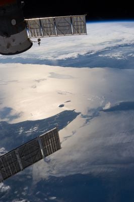
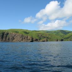
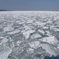
La Pérouse Strait is a waterway between Russia's Sakhalin Island and Japan's Hokkaido Island, linking the Sea of Japan on the west with the Sea of Okhotsk on the east. The channel spans roughly 43 kilometers wide with depths ranging from 51 to 118 meters, where strong currents and seasonal ice significantly affect ship passage.
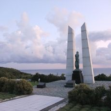
French explorer Jean-François de Galaup, Count of La Pérouse, surveyed and mapped this waterway during his Pacific expedition in 1787. His documentation helped establish European knowledge of this strategic passage connecting Asia to the broader world.
The strait forms a natural border between Russian and Japanese waters, shaped by centuries of maritime contact and cooperation between neighboring sea-faring communities. Today it remains a space where both nations share responsibility for maintaining safe passage through these shared waters.
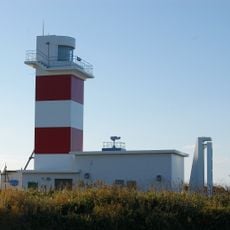
When navigating this waterway, ships must pay careful attention to strong currents and variable depths that demand precise course adjustments. Winter months bring ice formations that can obstruct or slow passage, so seasonal timing is an important consideration for mariners.
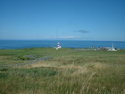
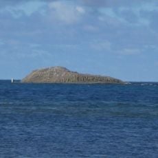
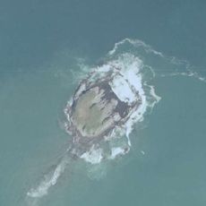
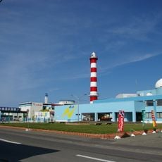
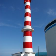
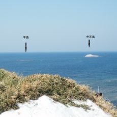
Two small islands, Kamen Opasnosti and Bentenjima, emerge from the waters and present additional navigation challenges for passing ships. These outcrops serve as important reference points for mariners finding their way through the channel.
The community of curious travelers
AroundUs brings together thousands of curated places, local tips, and hidden gems, enriched daily by 60,000 contributors worldwide.