Mount Asama, Active stratovolcano on the Gunma–Nagano border, Honshū, Japan
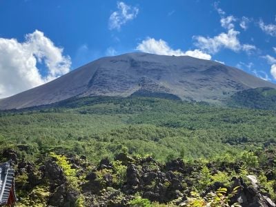
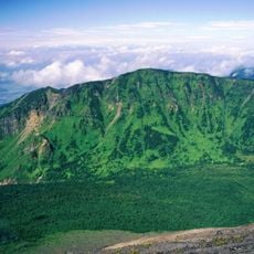
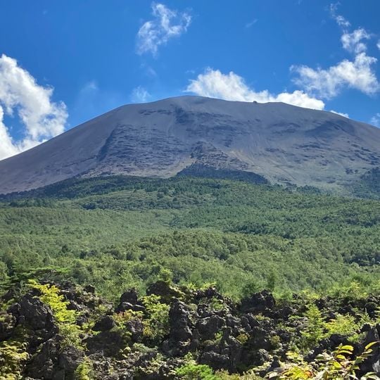
Mount Asama is a 2,568-metre andesite stratovolcano on the Gunma–Nagano border, built from overlapping cones around a summit crater that still releases smoke. Its youngest vent, Maekake, sits west of the inner rim, while the northern caldera side was breached by the 1783 lava flow that formed the Onioshidashi rocks.
The Tenmei eruption of 1783 lasted three months and produced mudflows that buried the village of Kanbara entirely. This disaster claimed more than 1,600 lives along the Agatsuma River and reshaped the landscape of the entire region permanently.
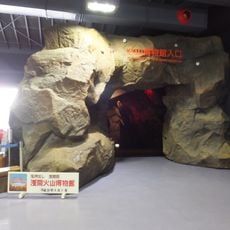
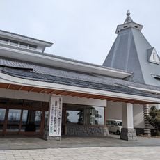
The name Onioshidashi, "expelling demons", refers to the solidified 1783 lava flow on the northern slope, now a tourist destination. A University of Tokyo volcano observatory stands on the east slope, and the Asama Volcano Museum lies about 4 km away.
The Japan Meteorological Agency runs monitoring stations around the volcano and uses a five-level alert system for potential hazards. Access to certain areas depends on the current alert level, which responds to volcanic activity.
Scientists from the University of Tokyo use muon imaging to create detailed maps of the internal structure. This technique employs cosmic radiation to see through rock without disturbing the volcanic system itself.
The community of curious travelers
AroundUs brings together thousands of curated places, local tips, and hidden gems, enriched daily by 92,234 contributors worldwide.