Enable Location

We need your location to show you interesting places around you

Discover nearby places

Find interesting locations and hidden gems around you

Precise directions

Get accurate directions and distances to places

Your location is never shared with other users. It's only used when you tap the location button.

Kamikitayama

Log in to your account

Start exploring — it's free

Trusted by 63,229 travelers worldwide

Continue with Google
Continue with Apple
or

We will send you a code to connect

By continuing, you accept our Terms and Conditions and our Privacy Policy

Check your inbox

We've sent a pincode in your inbox. Please enter the code below.

Discussion Reviews 1 Photos
27.7k Popularity

Kamikitayama, Mountain village in Yoshino District, Japan

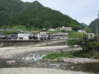
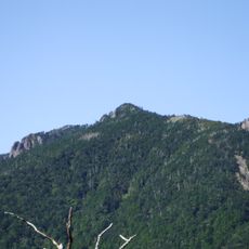
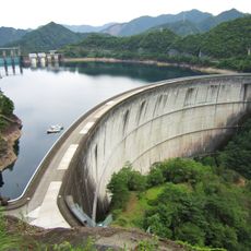
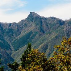
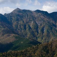
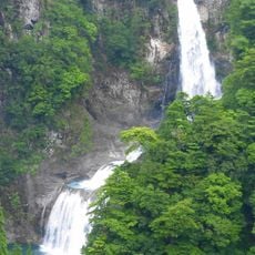
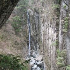
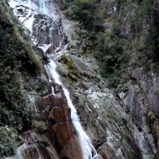
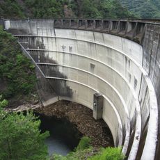
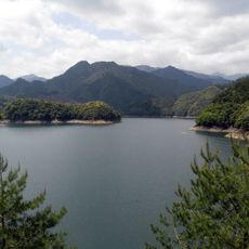
Kamikitayama is a mountain village in Yoshino District of Nara Prefecture, situated across a large expanse of forested highland terrain. The landscape consists of steep slopes and dense forests with natural water sources that define the setting.

The village received its current administrative form during a major reorganization of local governments in early modern Japan. This restructuring consolidated many small mountain settlements into larger administrative units.

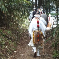
The community celebrates seasonal traditions rooted in mountain life, where local festivals reflect the deep connection between residents and their forested surroundings. These gatherings show how daily life and customs are shaped by the rhythms of the natural world around them.

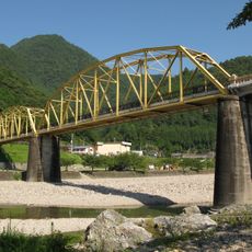
The village is accessed via mountain roads served by local bus routes that connect to larger towns nearby. Plan for longer travel times due to the remote highland location and winding roads.

The settlement is one of the smallest administrative divisions in the region despite covering a large area geographically. This contrast reveals how sparsely populated the mountain terrain is and the minimal number of residents who call it home.

The community of curious travelers

AroundUs brings together thousands of curated places, local tips, and hidden gems, enriched daily by 60,000 contributors worldwide.

Start exploring
Location
Inception
April 1, 1889
Reference
294519
Shares border with
Totsukawa, Gojō, Shimokitayama, Kawakami, Tenkawa, Kumano, Owase, Kihoku, Odai
GPS coordinates
34.13428,136.00011
Latest update
December 20, 2025 13:22
Reviews
Share your experience

No review yet

Discussions
Start a discussion...

No discussion yet

« Kamikitayama - Mountain village in Yoshino District, Japan » is provided by Around Us (aroundus.com). Images and texts are derived from Wikimedia project under a Creative Commons license. You are allowed to copy, distribute, and modify copies of this page, under the conditions set by the license, as long as this note is clearly visible.

Discover hidden gems everywhere you go!

From secret cafés to breathtaking viewpoints, skip the crowded tourist spots and find places that match your style. Our app makes it easy with voice search, smart filtering, route optimization, and insider tips from travelers worldwide. Download now for the complete mobile experience.

Around Us App Screenshot

A unique approach to discovering new places

Le Figaro

All the places worth exploring

France Info

A tailor-made excursion in just a few clicks

20 Minutes

Around Us
Travel Guide & Maps
Download

Send to your phone

QR Code
1

Open the camera app on your mobile.

2

Point at the QR code with your camera. A notification will appear.

3

Tap the notification to open the link.